


Deformation Monitoring

GNSS based monitoring system

The GNSS based monitoring system is widely applied in the fields of landslide geological hazard monitoring, dam deformation monitoring, mining area surface subsidence monitoring, tailings reservoir deformation monitoring, bridge deformation monitoring and high-rise building deformation monitoring and other fields with potential safety hazards.

TOKNAV GNSS deformation monitoring solution for dams, slopes, bridges, mines and long-term infrastructure monitoring
TOKNAV GNSS product visual divider

GNSS Deformation Monitoring Solution

GNSS deformation monitoring solution for dams, slopes, bridges, mines and long-term infrastructure monitoring

TOKNAV GNSS deformation monitoring solution is built for dams, slopes, bridges, mines and long-term infrastructure monitoring. This page now gives buyers a clearer product summary, related TOKNAV links, resource paths and quotation support for distributors, project teams and technical evaluators.

GNSS based monitoring system

The GNSS based monitoring system is widely applied in the fields of landslide geological hazard monitoring, dam deformation monitoring, mining area surface subsidence monitoring, tailings reservoir deformation monitoring, bridge deformation monitoring and high-rise building deformation monitoring and other fields with potential safety hazards.

TOKNAV GNSS deformation monitoring solution for dams, slopes, bridges, mines and long-term infrastructure monitoring

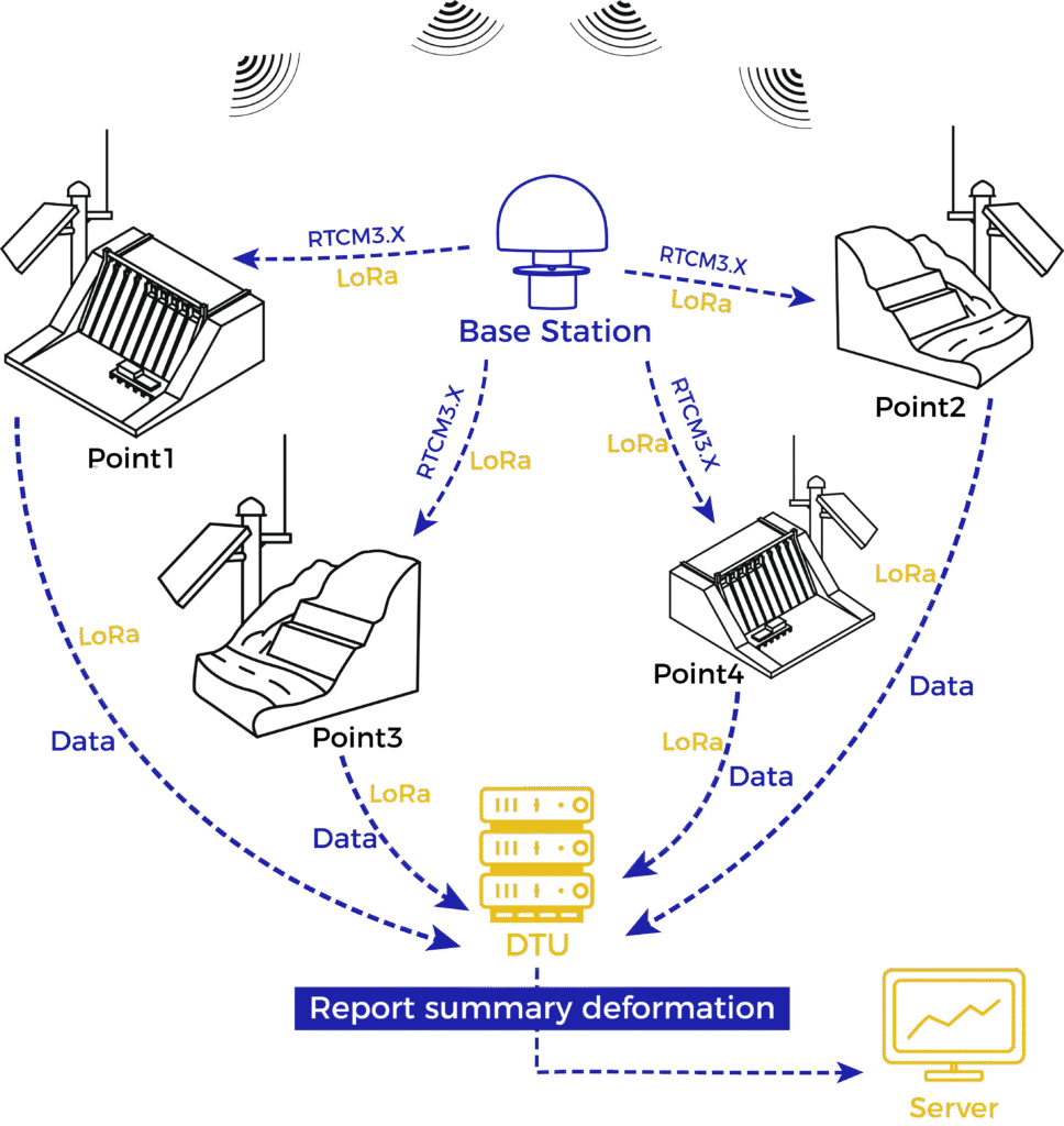
System Architecture

system structure

System Characteristics

TOKNAV GNSS deformation monitoring solution for dams, slopes, bridges, mines and long-term infrastructure monitoring

Millimeter-level accuracy

The platform solves the data with stability, high precision and small error.

TOKNAV GNSS deformation monitoring solution for dams, slopes, bridges, mines and long-term infrastructure monitoring

High real-time

Real-time data collection, with deformation monitoring results output every 4 hours. The system can be switched to a fast mode, outputting monitoring results every 0.5 hours.
 
TOKNAV GNSS deformation monitoring solution for dams, slopes, bridges, mines and long-term infrastructure monitoring

Rich forms of alarm

The early warning release method is flexible, and the early warning is sent and received by email, SMS, WeChat, etc.

TOKNAV GNSS deformation monitoring solution for dams, slopes, bridges, mines and long-term infrastructure monitoring

Long-range control & management

Support remote devices on the platform to restart, set, upgrade and other operations.

TOKNAV GNSS deformation monitoring solution for dams, slopes, bridges, mines and long-term infrastructure monitoring

High-performance antenna

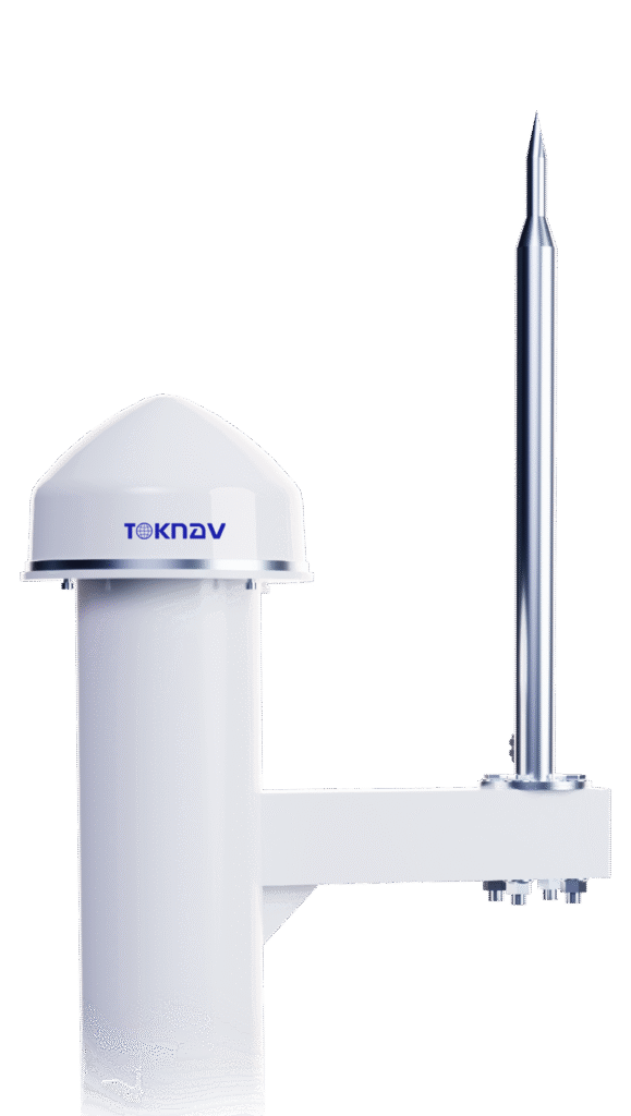
Features an internally integrated, self-developed, high-performance antenna with choke shorting columns and vertical choke plates, effectively suppressing multipath signals and improve the measurement accuracy of the antenna.
 
24

All weather operation

In severe weather such as thunder and rainstorm, it can run stably and has strong lightning protection and anti-interference performance.

TOKNAV GNSS deformation monitoring solution for dams, slopes, bridges, mines and long-term infrastructure monitoring

Millimeter-level accuracy

The platform solves the data with stability, high precision and small error.

TOKNAV GNSS deformation monitoring solution for dams, slopes, bridges, mines and long-term infrastructure monitoring

Long-range control & management

Support remote devices on the platform to restart, set, upgrade and other operations.

TOKNAV GNSS deformation monitoring solution for dams, slopes, bridges, mines and long-term infrastructure monitoring

High real-time

Real-time data collection, with deformation monitoring results output every 4 hours. The system can be switched to a fast mode, outputting monitoring results every 0.5 hours.

TOKNAV GNSS deformation monitoring solution for dams, slopes, bridges, mines and long-term infrastructure monitoring

High-performance antenna

Features an internally integrated, self-developed, high-performance antenna with choke shorting columns and vertical choke plates, effectively suppressing multipath signals and improve the measurement accuracy of the antenna.

TOKNAV GNSS deformation monitoring solution for dams, slopes, bridges, mines and long-term infrastructure monitoring

Rich forms of alarm

The early warning release method is flexible, and the early warning is sent and received by email, SMS, WeChat, etc.

24

All weather operation

In severe weather such as thunder and rainstorm, it can run stably and has strong lightning protection and anti-interference performance.

Solution Schematic Diagram

Back-end Calculation Solution

TOKNAV GNSS deformation monitoring solution for dams, slopes, bridges, mines and long-term infrastructure monitoring

Front-end Calculation Solution

TOKNAV GNSS deformation monitoring solution for dams, slopes, bridges, mines and long-term infrastructure monitoring

Application Area

TOKNAV marking robot field application reference image

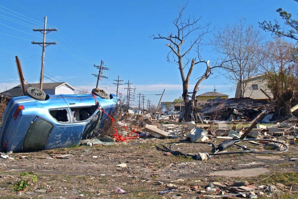
Automatic Monitoring of Geological Hazards

TOKNAV GNSS deformation monitoring solution for dams, slopes, bridges, mines and long-term infrastructure monitoring

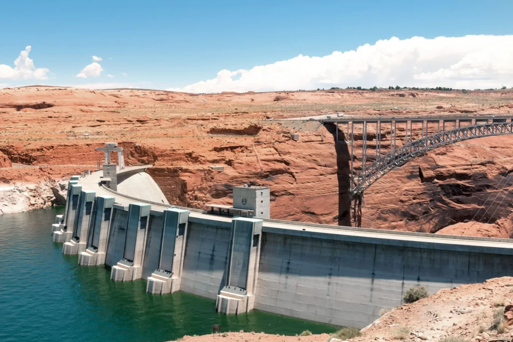
Safety Monitoring of Water Conservancy Dam

TOKNAV GNSS deformation monitoring solution for dams, slopes, bridges, mines and long-term infrastructure monitoring

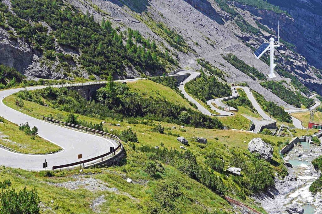
Safety Monitoring of Slopes Along Highways

TOKNAV GNSS deformation monitoring solution for dams, slopes, bridges, mines and long-term infrastructure monitoring

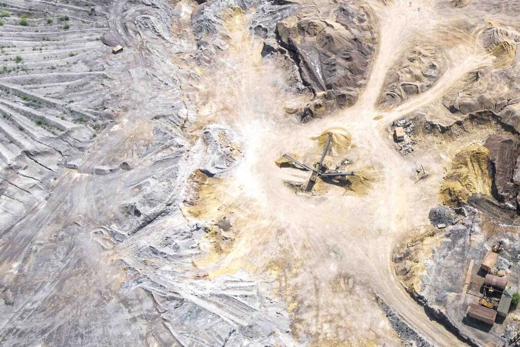
Mine Safety Monitoring

TOKNAV GNSS deformation monitoring solution for dams, slopes, bridges, mines and long-term infrastructure monitoring

Bridge Structure Monitoring

TOKNAV GNSS deformation monitoring solution for dams, slopes, bridges, mines and long-term infrastructure monitoring

High-rise building Structure Monitoring

Become TOKNAV global distributors!

With a proven track record in surveying industry, we’re now looking for passionate distributors to join our global success story.