






VRS Network RTK Solution Planning Guide
TOKNAV VRS Solution is for project teams planning CORS infrastructure, network RTK correction services and centimeter-level positioning workflows for surveying, monitoring, agriculture and intelligent equipment.
VRS project planning framework
| Core infrastructure | CORS/reference station receivers, GNSS antennas, server or control center, data communication and Ntrip/VRS service workflow | Use this page to connect project requirements with receiver, antenna and software planning. |
|---|---|---|
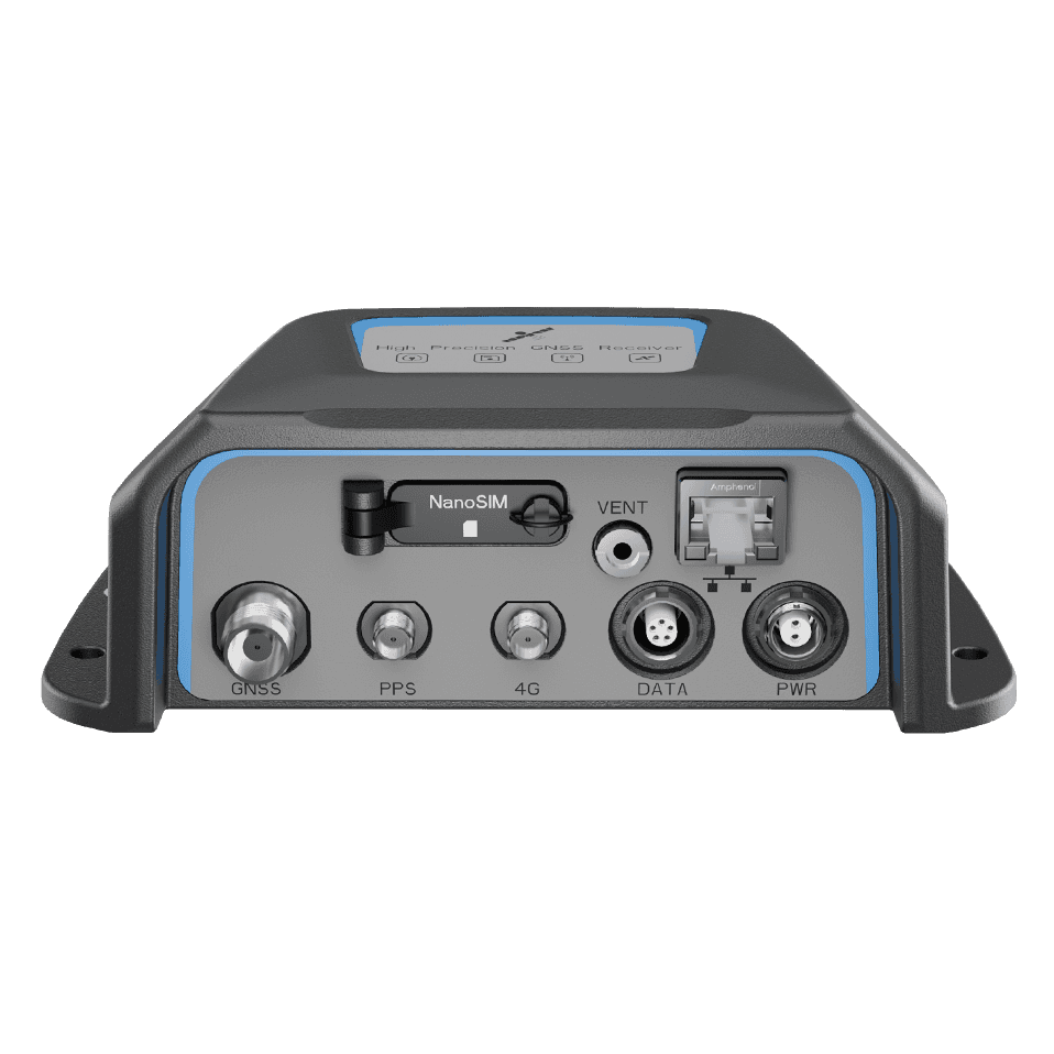
| Recommended product fit | NET660, NET660i, tBase and TCA-series antennas such as TCA920 | Final model selection should confirm station quantity, environment, data link, accuracy target and maintenance requirements. |
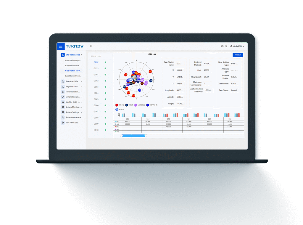
| Correction workflow | Reference station data collection, network correction calculation, correction distribution and rover access | Useful for teams that need a more scalable alternative to a single local RTK base station. |
| Buyer information to prepare | Country or region, coverage area, station count, rover users, correction method, network condition and target applications | Clear project inputs help TOKNAV recommend a practical VRS/CORS package. |
Application scenarios
- CORS infrastructure and network RTK service planning.
- City, campus, construction or infrastructure survey networks that need shared GNSS corrections.
- Reference station projects for surveying, mapping, monitoring and machine positioning.
- Distributor or system integrator proposals for regional GNSS correction services.
- Projects comparing VRS network RTK with local RTK base station workflows.
Related products and solutions
FAQ
What is a VRS network RTK solution?
A VRS network RTK solution uses multiple reference stations, data communication and correction service software to provide GNSS corrections to rover users across a planned coverage area.
Which TOKNAV products are relevant for VRS projects?
VRS and CORS projects can use receivers such as NET660 and NET660i with suitable GNSS antennas such as TCA920, depending on station design and environment.
What information should be prepared before requesting a VRS proposal?
Prepare the project region, coverage area, station quantity, expected rover users, accuracy target, communication condition and whether the project needs monitoring, surveying or machine positioning.
How is VRS different from a local RTK base station?
A local RTK base station usually supports one project area, while VRS network RTK is designed for broader shared correction coverage across multiple reference stations.
Plan a VRS or CORS project with TOKNAV
Share your station count, region, coverage target, data link plan and receiver or antenna requirements for solution guidance.