

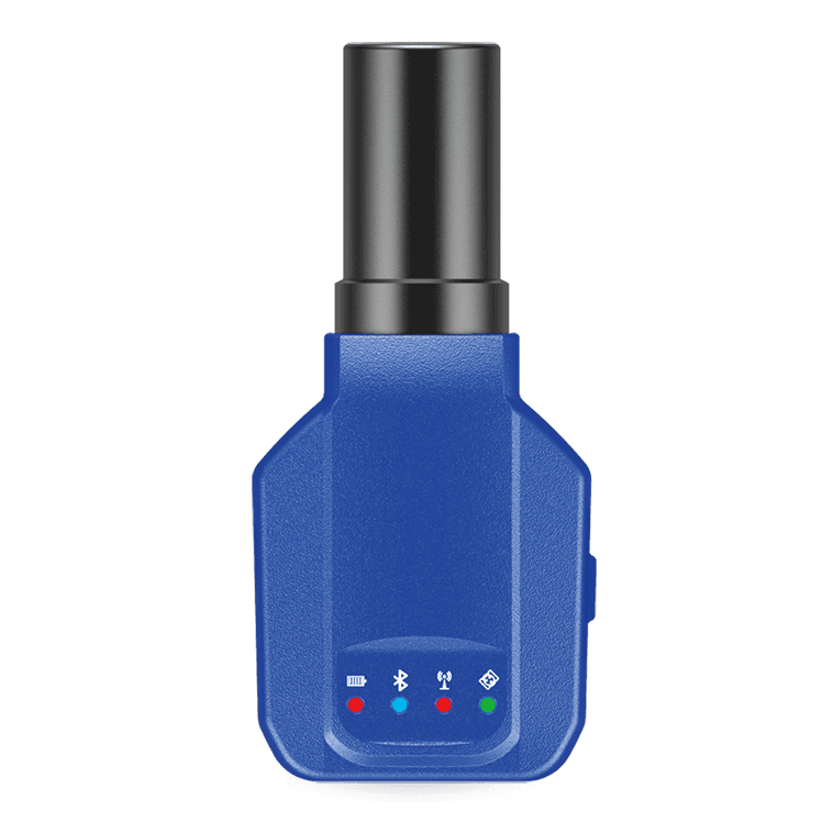



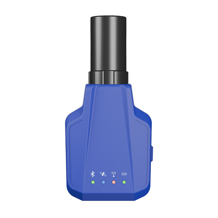
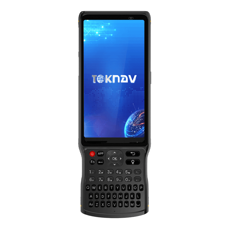
P8/P8Pro Portable RTK Receiver specifications, applications and FAQ
Lightweight portable RTK receiver for GIS data collection, road construction, power line surveying, site leveling, CAD applications and railway stakeout.
P8/P8Pro Portable RTK Receiver key parameters from the latest English datasheet
| GNSS and accuracy | 1408 channels; BDS, GPS, GLONASS, Galileo, QZSS and SBAS support; RTK horizontal +/- (8mm+1ppm), vertical +/- (15mm+1ppm) |
|---|---|
| Tilt and portability | P8Pro supports 60-degree IMU with error less than 2cm; P8/P8Pro weighs 141g/143g including helical antenna |
| System and data | ESP32 + ASR ARM, FreeRTOS, NMEA-0183 output, RTCM 3.X correction protocol and 5Hz max data update frequency |
| Connectivity | Bluetooth BR+EDR and LTE network support listed in the brochure |
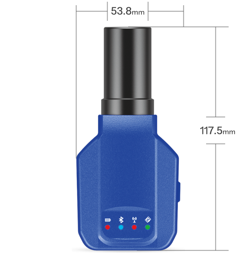
| Battery and body | 7.4V 1800mAh, over 8 hours; 53.8mm x 37mm x 117.5mm, IP67 |
Application scenarios
- Lightweight GIS data collection
- Road construction positioning
- Power line surveying
- Site leveling control and CAD-assisted field work
- Railway stakeout and portable mapping workflows
Related products and solutions
FAQ
What is P8/P8Pro used for?
P8/P8Pro is used for portable RTK positioning, GIS data collection, road construction, power line surveying, site leveling, CAD workflows and railway stakeout.
How portable is P8/P8Pro?
The latest English brochure lists P8 at 141g and P8Pro at 143g including the helical antenna.
Does P8Pro support tilt measurement?
Yes. P8Pro supports 60-degree IMU tilt measurement with error less than 2cm; P8 does not support tilt measurement.
Which users should choose P8/P8Pro?
Choose P8/P8Pro when the job needs lightweight positioning and mobile field collection rather than a full-size survey rover.
Request P8/P8Pro details
Ask TOKNAV for GIS, mapping or lightweight RTK project guidance, including datasheet and distributor pricing support.