
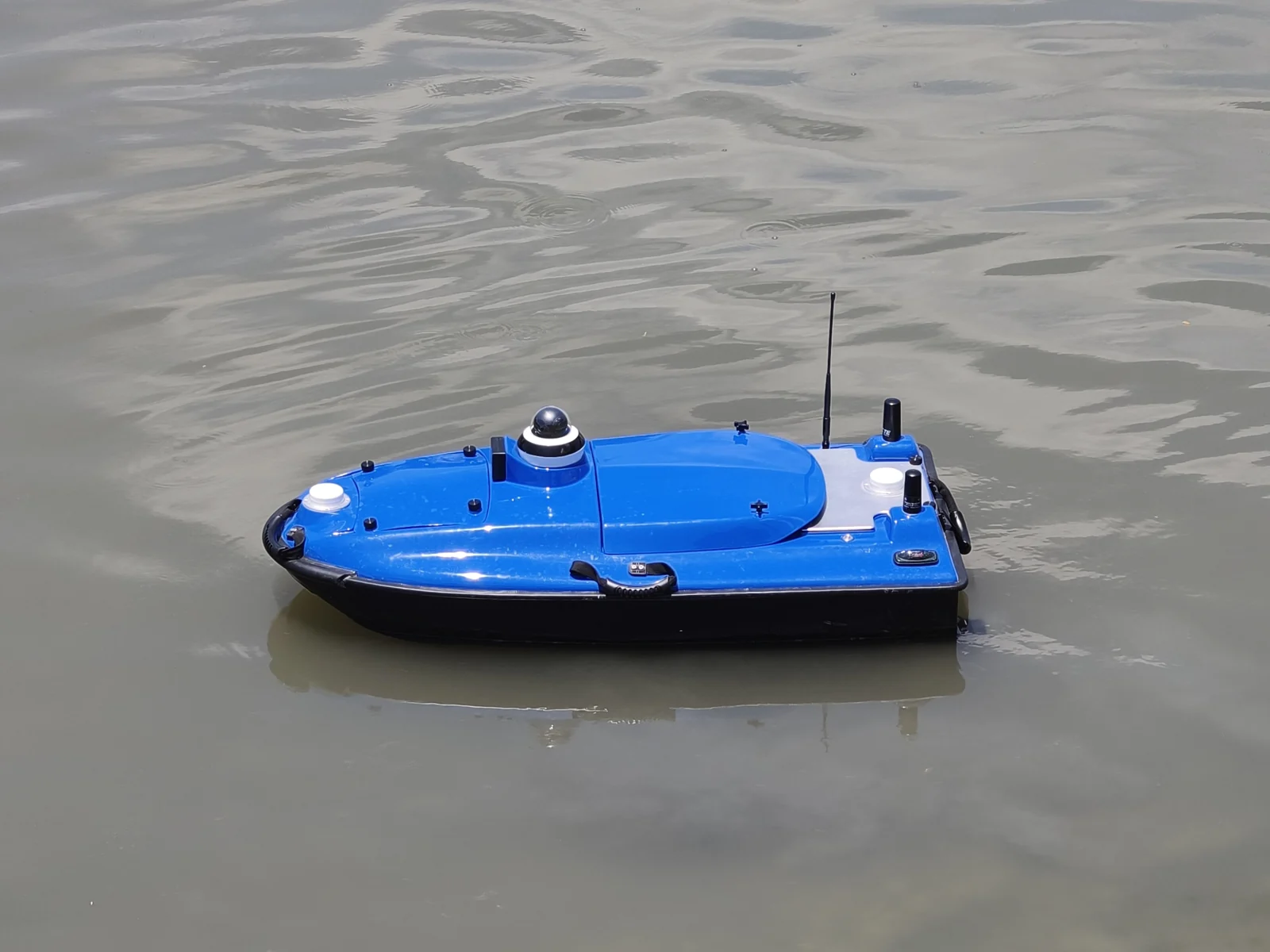
Measuring water depth in a reservoir, collecting water samples from a lake, or inspecting a river channel all require equipment that can reach the right location and collect useful information. An unmanned surface vehicle, or USV, provides a way to carry out these tasks without an operator onboard.
But choosing a USV involves more than selecting a boat. The platform, sensors, positioning system, communication links, and operating software all need to fit your work.
This guide explains what a USV is, how it works, and what to consider when choosing a system—including the TOKNAV TBoat series—for your project.
What Is a USV?
A USV, short for Unmanned Surface Vehicle, is a vessel that operates on the water’s surface without a crew onboard. You may also see the terms “uncrewed surface vessel,” “survey drone boat,” or simply “unmanned boat.”
Depending on its design and configuration, a USV can be controlled remotely or follow planned routes while an operator supervises its activity. “Unmanned” describes the absence of people onboard; it does not automatically mean the vessel operates without human oversight. NOAA’s guide to uncrewed survey systems explains these operating approaches.
Unlike an underwater vehicle, the USV itself stays on the surface. Sensors carried by the vessel can measure conditions below or around it.
For professional users, common applications include:
- Bathymetric surveying: measuring water depth and collecting data used to map underwater terrain.
- Water-quality monitoring: measuring selected water parameters using suitable sensors.
- Water sampling: collecting physical samples for subsequent analysis.
- Inspection: gathering visual or sonar information to support assessments of a waterway or site.
The equipment fitted to the vessel determines which tasks it can perform.
How Does a USV Work?
A working USV combines several systems, each with a different role.
The vessel and propulsion system carry the equipment and move it through the water. Hull design, propulsion, battery capacity, and payload all influence its operating capabilities.
The positioning and navigation system helps determine where the vessel is and guides its movement. Survey configurations may use GNSS with RTK corrections when the project requires precise positioning.
The task equipment collects the information you need. This might be an echo sounder for depth measurement, a water-quality sensor, a sampling device, or a side-scan sonar.
The communication and control system connects the operator with the vessel, allowing supervision and control within the system’s supported operating conditions.
For a bathymetric survey, for example, an echo sounder measures depth while the positioning system records location. Those observations are then processed, checked, and referenced appropriately to produce useful survey results.
This explains a key purchasing principle: the boat gets the equipment to the measurement location, but the complete system determines the usefulness of the data.
Start with the Job You Need to Do
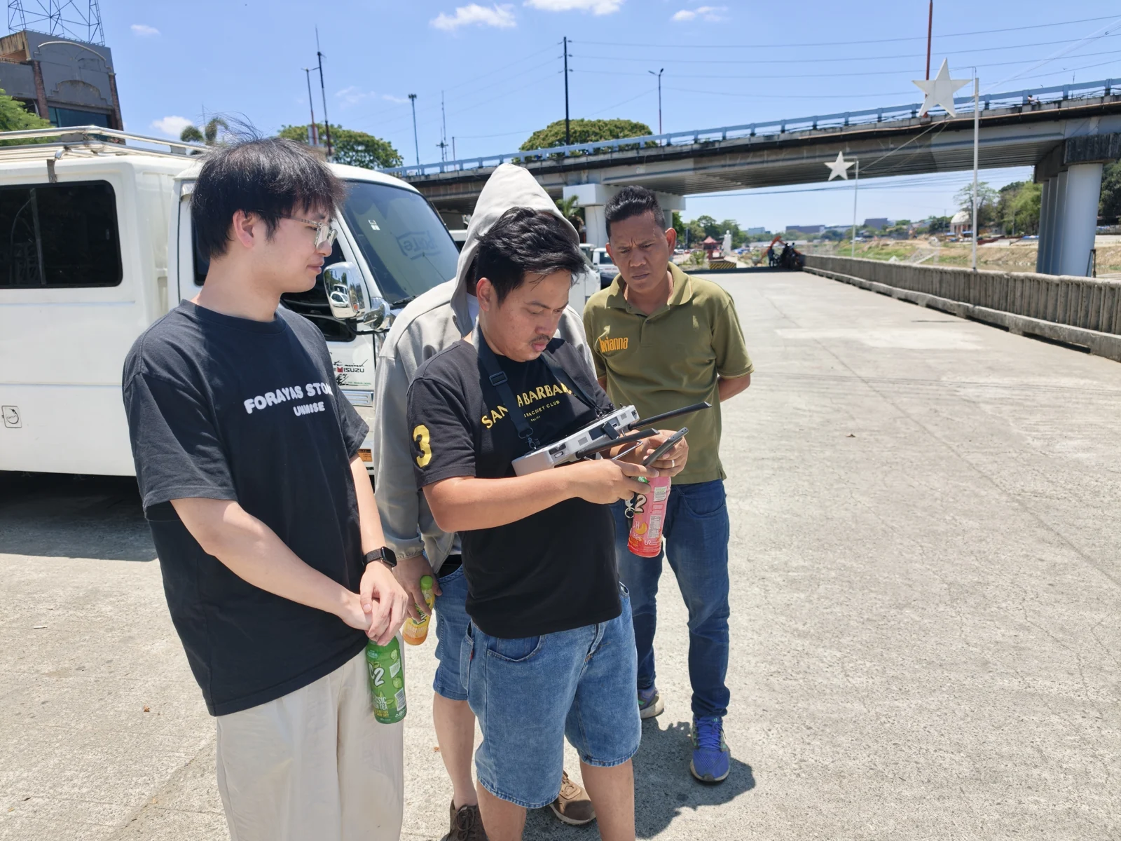
Before comparing specifications, define your main task and the result you need to deliver.
Water-depth and underwater-terrain surveys
If you need to map a reservoir, assess sediment accumulation, or support dredging work, begin with the required survey coverage and deliverables.
Consider whether you need individual depth profiles, a terrain model, or data suitable for volume calculations. These requirements help determine the sonar, positioning, survey planning, and processing workflow.
Water-quality monitoring
If your project involves environmental monitoring, list the parameters you need to measure and where measurements must be taken.
Temperature, pH, dissolved oxygen, conductivity, and turbidity are examples of parameters that suitable sensors can measure. Confirm the selected sensor package, calibration requirements, and measurement depth for your project.
Water sampling
Monitoring and sampling serve different purposes. A sensor measures a parameter in the field, while a sampling system collects water for further testing.
For sampling work, specify the number of collection points, sample volume, collection depth, and procedures needed to preserve sample integrity.
Inspection and underwater observation
Start by identifying what you need to inspect. A camera can document visible surface conditions, while side-scan sonar can provide imagery of underwater features.
Sonar imagery and bathymetric measurements answer different questions, so choose equipment according to the information your project requires.
Match the USV to Your Water Environment
Two projects with the same measurement objective may need different equipment because their operating conditions differ.
Water depth and access: Consider the shallowest sections, underwater obstacles, shoreline conditions, and available launch points. A sensor’s measurement range does not establish the vessel’s minimum safe operating depth.
Current, wind, and waves: Assess whether the vessel can maintain a useful survey speed and follow its intended route under expected conditions. Maximum speed alone does not describe its ability to complete a survey.
Vegetation and debris: Floating rubbish, aquatic plants, and submerged objects may affect propulsion, sensor performance, and route planning.
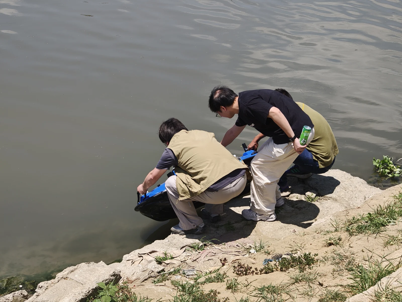
Transport and recovery: Think about how your team will carry the equipment, launch it, retrieve it, and access the site with batteries and accessories.
Communication coverage: Check the available control and data links against the site’s operating distance, terrain, obstructions, and network coverage.
These practical details often matter as much as the headline specifications.
Choose the Right Sensors and Payloads
A USV should be evaluated as a configured working system.
For a survey project, confirm the sonar type, positioning arrangement, correction source, mounting requirements, and data-processing workflow. For environmental work, confirm the sensor package or sampling system and its operating procedures.
If you intend to perform several tasks, ask whether the required equipment can operate together or needs to be exchanged between missions. Additional equipment can affect power consumption, vessel balance, deployment, and endurance.
Also distinguish between individual equipment specifications and overall results. GNSS positioning accuracy, depth-sensor accuracy, and final survey accuracy are different measurements. Calibration, sound velocity, vessel motion, water-level referencing, and processing can all influence the final output.
The right configuration is the one that supports your required deliverable under your actual working conditions.
Look Beyond the Specification Sheet
Before purchasing, review how the system will fit into your team’s daily work.
| What to evaluate | Why it matters |
|---|---|
| Mission endurance | Battery performance should support your planned workload with the selected payload and a suitable return margin. |
| Operator training | Your team needs to understand preparation, control, supervision, recovery, and routine checks. |
| Data export and processing | Collected information must fit your existing software and reporting requirements. |
| Maintenance and spare parts | Batteries, propulsion components, and sensors need an achievable maintenance plan. |
| Technical support | Clear support arrangements help your team resolve setup and operating questions. |
| Included equipment | A quotation should identify the vessel, sensors, batteries, accessories, software, and services supplied. |
For cost comparisons, consider the complete package and its ongoing requirements. A lower initial vessel price may not represent the lower cost of a ready-to-use system.
Explore the TOKNAV TBoat Series
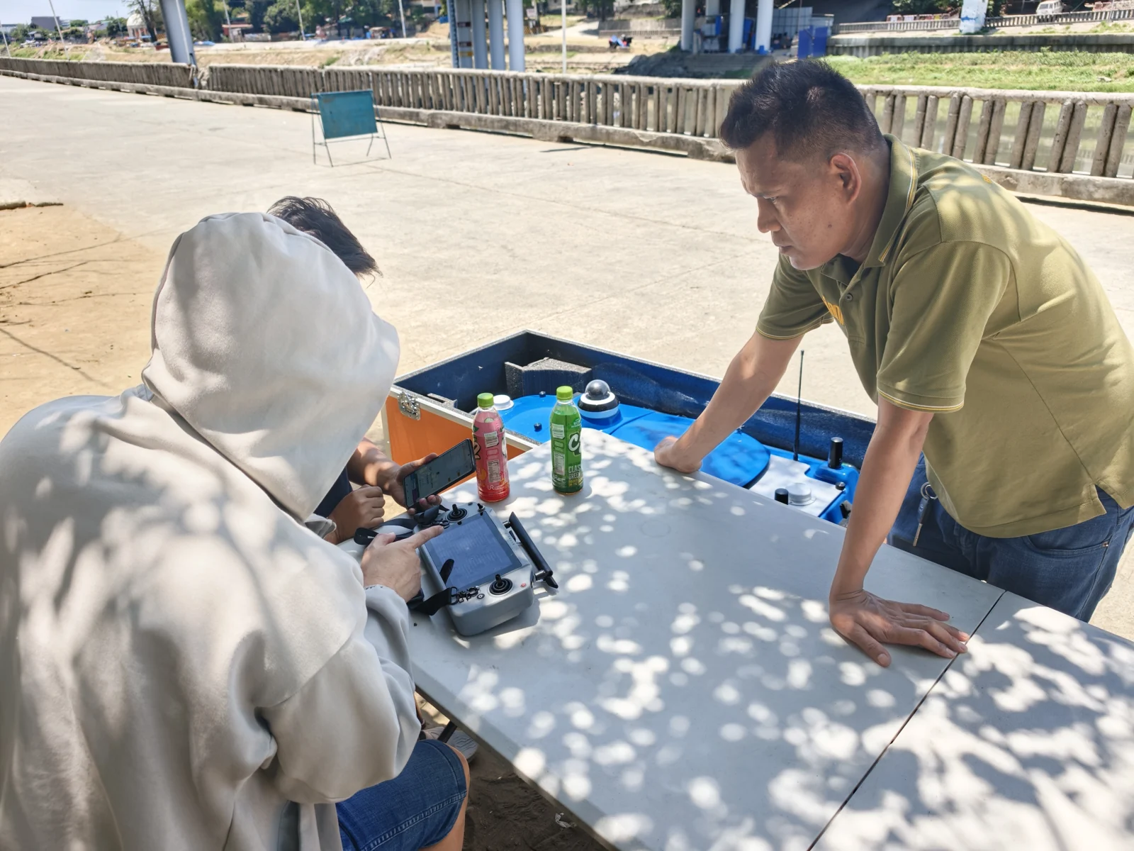
The TOKNAV TBoat series provides USV options for water-survey and environmental tasks. The range includes TBoat10 and TBoat20, with application configurations listed for bathymetric surveying, water-quality monitoring, water sampling, and side-scan sonar patrol work. Explore the TOKNAV TBoat series.
The published hull dimensions provide one practical starting point when reviewing transport and deployment:
| Platform | Published hull dimensions |
|---|---|
| TOKNAV TBoat10 | 980 × 520 × 254 mm |
| TOKNAV TBoat20 | 1280 × 580 × 430 mm |
Platform size is only part of the selection. Your intended payload, operating environment, measurement requirements, and team workflow should guide the final configuration.
For example, a team measuring reservoir depths should begin with the bathymetric survey configuration and its positioning and data requirements. A team collecting water samples should instead begin with the sampling arrangement and collection procedure.
When discussing TBoat options with TOKNAV, explain the work you need to complete. This gives the team a useful basis for recommending a platform and confirming the equipment required for your application.
What Information Should You Send for a Quote?
A clear project brief makes product selection and quotation more efficient. Include:
- Location: your country or region and the type of water body.
- Main task: bathymetric survey, water-quality monitoring, sampling, inspection, or a combination.
- Site conditions: expected depth, current, waves, vegetation, and launch access.
- Operating requirements: survey area, distance from the operator, and typical mission duration.
- Required results: measurements, maps, sample quantities, or reports you need to deliver.
- Existing equipment: sensors, GNSS equipment, or processing software you already use.
- Purchase plan: expected quantity, budget range if available, and project timing.
You do not need to know every technical specification before contacting a supplier. Describing your project clearly is a useful first step toward selecting the right system.
Find the Right USV for Your Project
A suitable USV connects three things: the task you need to complete, the conditions you work in, and the information your customer or project requires.
Start with those requirements, then choose the platform, sensors, and workflow that support them.
Planning a water-survey or monitoring project? Explore TOKNAV USV platforms and share your application, site conditions, and required results with TOKNAV to discuss a suitable TBoat configuration and request a quotation.
YOUR NEXT STEP
Tell us about your water-survey project.
Share your application, water conditions and required results. Discuss a suitable TBoat configuration with TOKNAV.
Request a configuration recommendation →