
Shallow rivers and reservoirs
Plan repeated routes where access, depth and payload choice need a project-specific review.
TBoat10 & TBoat20 · Hydrographic Survey USVs
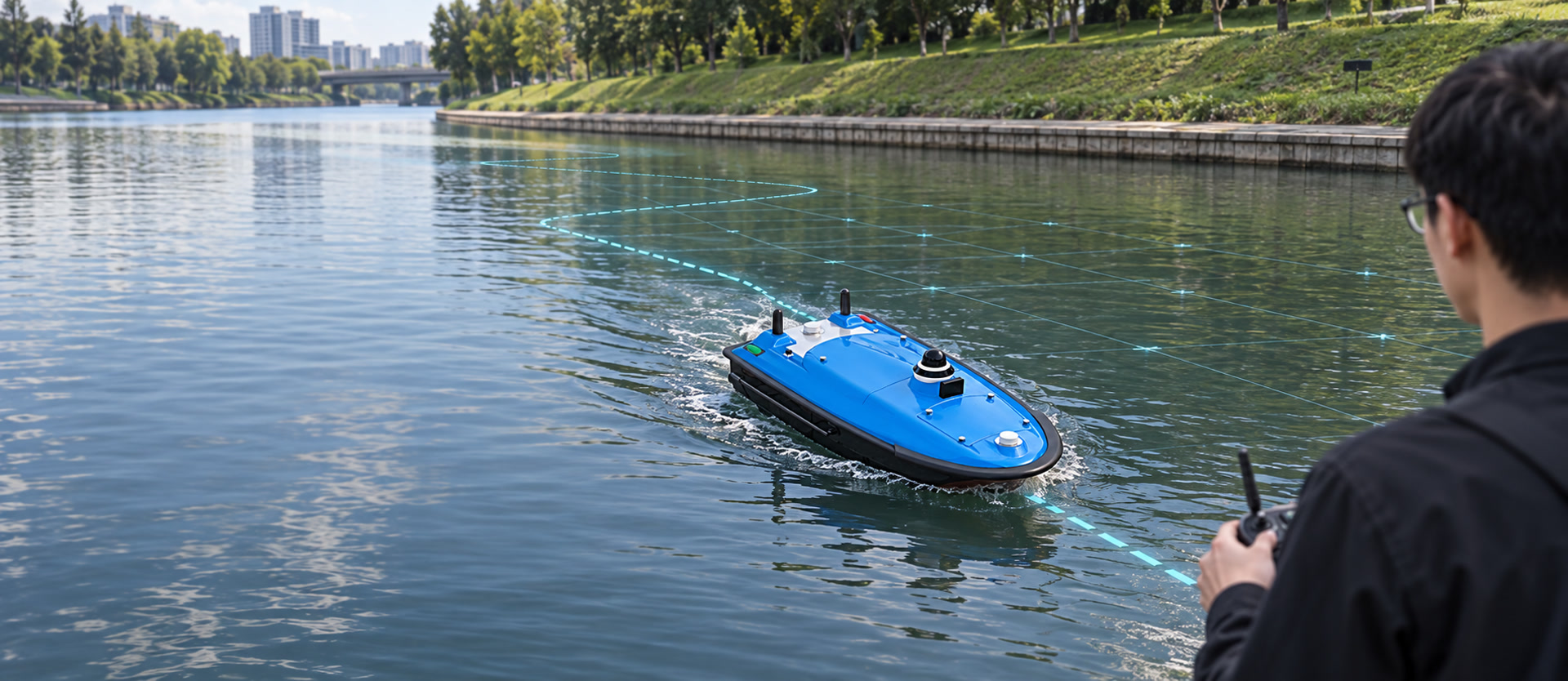
Plan bathymetric, river and reservoir survey missions with RTK positioning, autonomous routes and configurable sonar or sensor payloads.
Share your water conditions, required payload and expected survey output for a project-specific recommendation.
Project planning guide
An unmanned surface vessel is most useful when its payload, positioning and route plan match the waterway and deliverable. Start with the survey area, launch and recovery conditions, expected depth range, current, obstacles and the data that must be delivered to the client.
For bathymetric work, the echo sounder, GNSS correction method and sound-speed or draft process should be planned as one workflow. A reliable field plan also includes line spacing, coverage checks, communication, safety procedures and data backup.
Before mobilization
Align the vessel, payload and survey workflow before the team reaches the water.
Answers to the planning questions technical buyers typically resolve before requesting a configuration.
Start with the vessel, payload, positioning, correction workflow, field conditions and the intended survey deliverable. The final configuration should fit the launch site and operating plan.
Depth observations and position records are used together in hydrographic deliverables, so the sensor, positioning and project-control workflow should be agreed before field work.
Check water conditions, launch and recovery access, route safety, line plan, correction availability, communication and the required quality-control process.
Start with the water environment and deliverables. Then select the platform, positioning method and survey payload around the project.
Plan repeated routes where access, depth and payload choice need a project-specific review.
Combine remote operation, route planning and selected hydrographic sensors for the working area.
Match the vessel configuration to the required survey route, sensor and project output.
Use a configuration discussion to assess water-quality, side-scan or inspection payload requirements.
Published technical data is shown below. Final compatibility should be confirmed for the selected sensor package and operating environment.
| Comparison point | TBoat10 | TBoat20 |
|---|---|---|
| Recommended environment | Bathymetric survey, water-quality monitoring, sampling and side-scan sonar patrol configurations | Bathymetric survey, water-quality work, hydrological monitoring and underwater surveying configurations |
| Typical survey scale | Confirm based on water conditions, required payload, route and deliverables. | |
| Hull size | 980 × 520 × 254 mm | 1280 × 580 × 430 mm |
| Total weight | 30 kg | 40 kg |
| Maximum payload | 35 kg | 50 kg |
| Published operating time | 3 h per battery set at 2 m/s; 7 h at 1.5 m/s | 3 h per battery set at 2 m/s; 7 h at 1.5 m/s |
| Maximum speed | 7 m/s | 6 m/s |
| Draft | 8.5 cm | 10 cm |
| Single-beam echo sounder | Available depending on the selected model and configuration. | Available depending on the selected model and configuration. |
| Multibeam compatibility | Available depending on the selected model and configuration. | Available depending on the selected model and configuration. |
| Side-scan sonar compatibility | Available depending on the selected model and configuration. | Available depending on the selected model and configuration. |
| ADCP compatibility | Available depending on the selected model and configuration. | Available depending on the selected model and configuration. |
| Water-quality payload compatibility | Available depending on the selected model and configuration. | Available depending on the selected model and configuration. |
| Communication options | 4G, 2.4 GHz and optional radio | 4G, 2.4 GHz and optional radio |
| RTK and differential sources | Published support for network CORS and optional radio differential sources | Published support for network CORS and optional radio differential sources |
Source: public TOKNAV TBoat10 and TBoat20 series datasheets. Published parameters may be updated; confirm the latest configuration before purchase.
A clear four-step discussion helps define the right system configuration before the vessel enters the water.
Share the water body, operating conditions and expected deliverables.
Confirm the platform, correction source and selected sensor workflow.
Use the project route and the vessel-control workflow to operate the mission.
Confirm the required survey outputs and processing workflow with the technical team.
Each project can combine a USV platform with selected positioning, sensor and operating components.
Available components and delivery scope depend on the selected model, sensors and project configuration.
Review the product datasheets and the selected TBoat10 operation video before discussing a project configuration. This page does not present unverified customer cases or performance results.
Focus on documented product architecture and a configuration discussion tailored to the selected workflow.
The published TBoat materials identify the platform as independently designed and developed by TOKNAV.
Published materials describe high-precision positioning, route planning, telemetry and selected hydrographic payloads.
Share the water environment, preferred payload and required outputs so the technical team can confirm the appropriate setup.
Answers below reflect the published product documentation. Ask the TOKNAV technical team to confirm a specific payload or project workflow.
TBoat10 has an 8.5 cm draft and TBoat20 has a 10 cm draft in the published datasheets. The suitable model also depends on payload, route, current, depth and project deliverables. Contact TOKNAV to confirm the configuration for your project.
The published TBoat materials describe echo sounder compatibility for TBoat10 and multibeam echo sounder use for TBoat20. Please contact the TOKNAV technical team to confirm compatibility for your selected payload and workflow.
The published datasheets list optional radio and network CORS differential sources. Please contact the TOKNAV technical team to confirm compatibility for your selected RTK base, CORS or NTRIP workflow.
Please contact the TOKNAV technical team to confirm compatibility for your selected payload and workflow.
The published TBoat20 materials list multibeam echo sounder and ADCP among possible equipment. Please contact the TOKNAV technical team to confirm compatibility for your selected payload and workflow.
Share your country or region, project type, water body, approximate depth, survey area or route length, preferred payload and timeline so TOKNAV can assess the configuration.
Please contact the TOKNAV technical team to confirm compatibility for your selected payload and workflow.
Delivery scope depends on the selected model, sensor payload and project configuration. Please contact the TOKNAV technical team to confirm compatibility for your selected payload and workflow.
Share a few project details and the TOKNAV team will recommend a suitable USV, positioning method and payload configuration.
Your information is used only to reply to this project consultation. Fields marked required are needed to assess the request.