
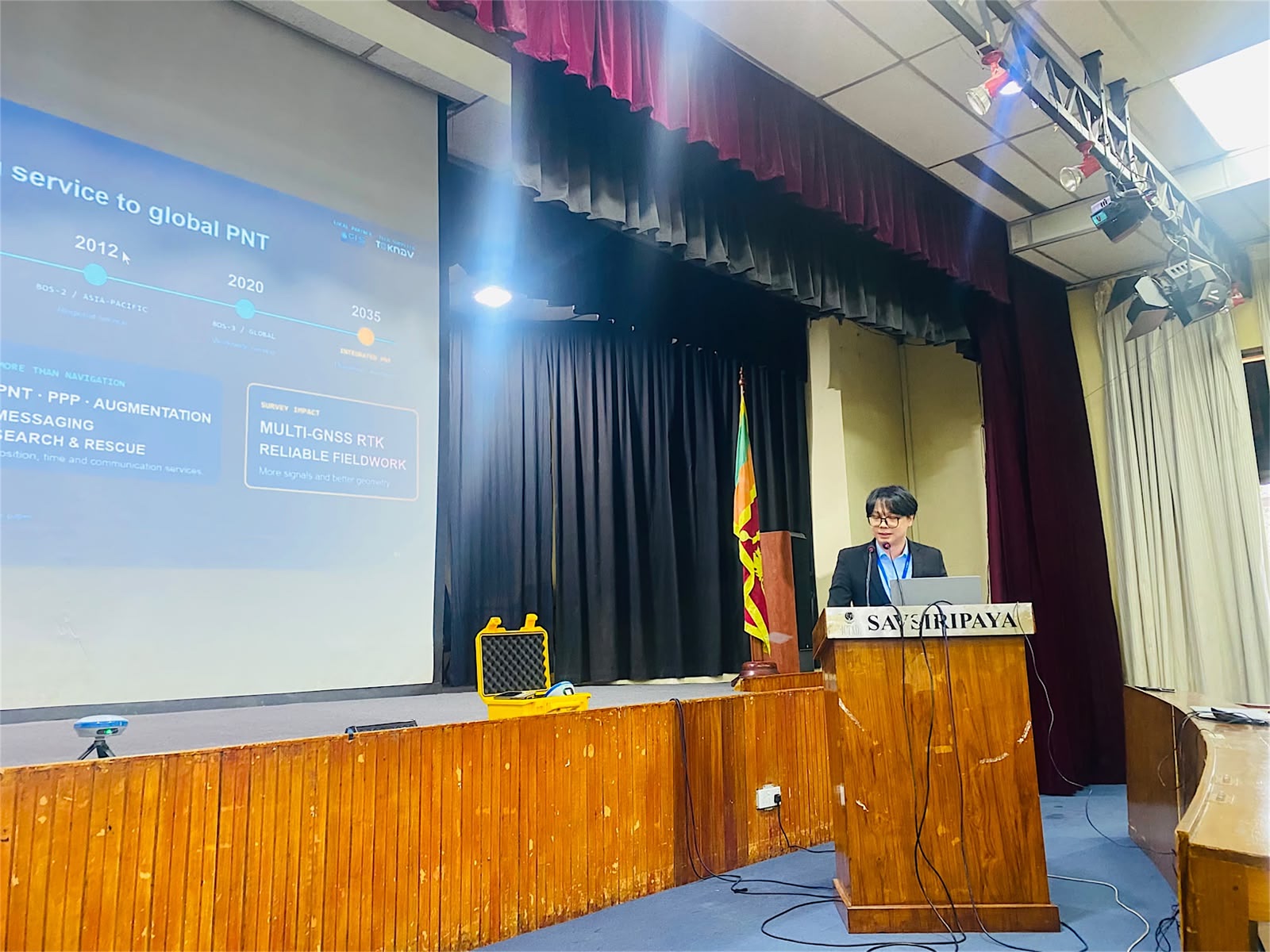
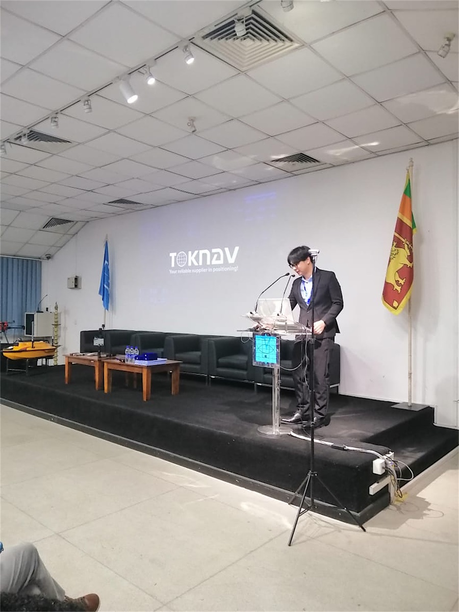
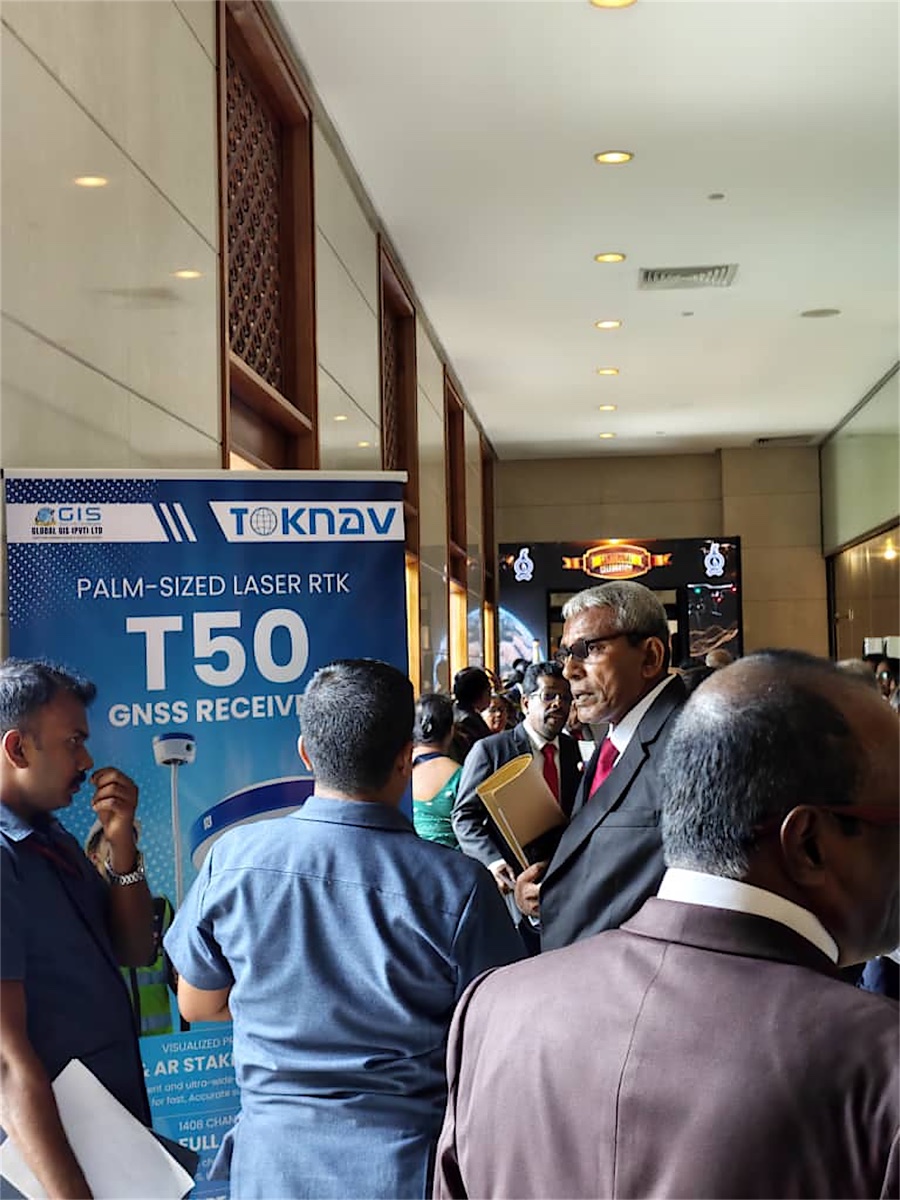
TOKNAV, together with its Sri Lankan partner Global GIS, recently joined the 100th anniversary celebration of The Surveyors’ Institute of Sri Lanka (SISL) and delivered a series of technical exchanges with the Construction Industry Development Authority (CIDA) and the Institution of Engineers, Sri Lanka (IESL). The sessions brought together government officials, engineers, representatives of surveying organizations and professional surveyors to explore the next stage of high-precision geospatial practice.
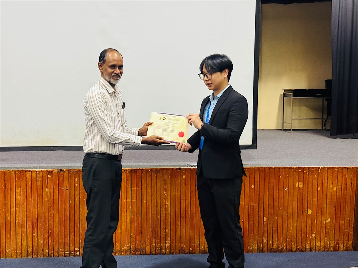
Connecting positioning technology with professional practice
Across the program, TOKNAV and Global GIS shared perspectives on the development of China’s BeiDou Navigation Satellite System (BDS) within the wider global navigation satellite system ecosystem, the evolution of modern geospatial technology, and the working principles behind high-accuracy GNSS/RTK positioning. The discussion also addressed the quality-assurance discipline needed to turn field observations into dependable project data.
- BeiDou and multi-constellation GNSS: the positioning foundations that support resilient, high-precision field work.
- Modern geospatial workflows: how data capture, visualization and construction execution are becoming more connected.
- GNSS/RTK accuracy and quality assurance: key considerations for establishing confidence in survey results and project delivery.
From technical principles to field-ready workflows
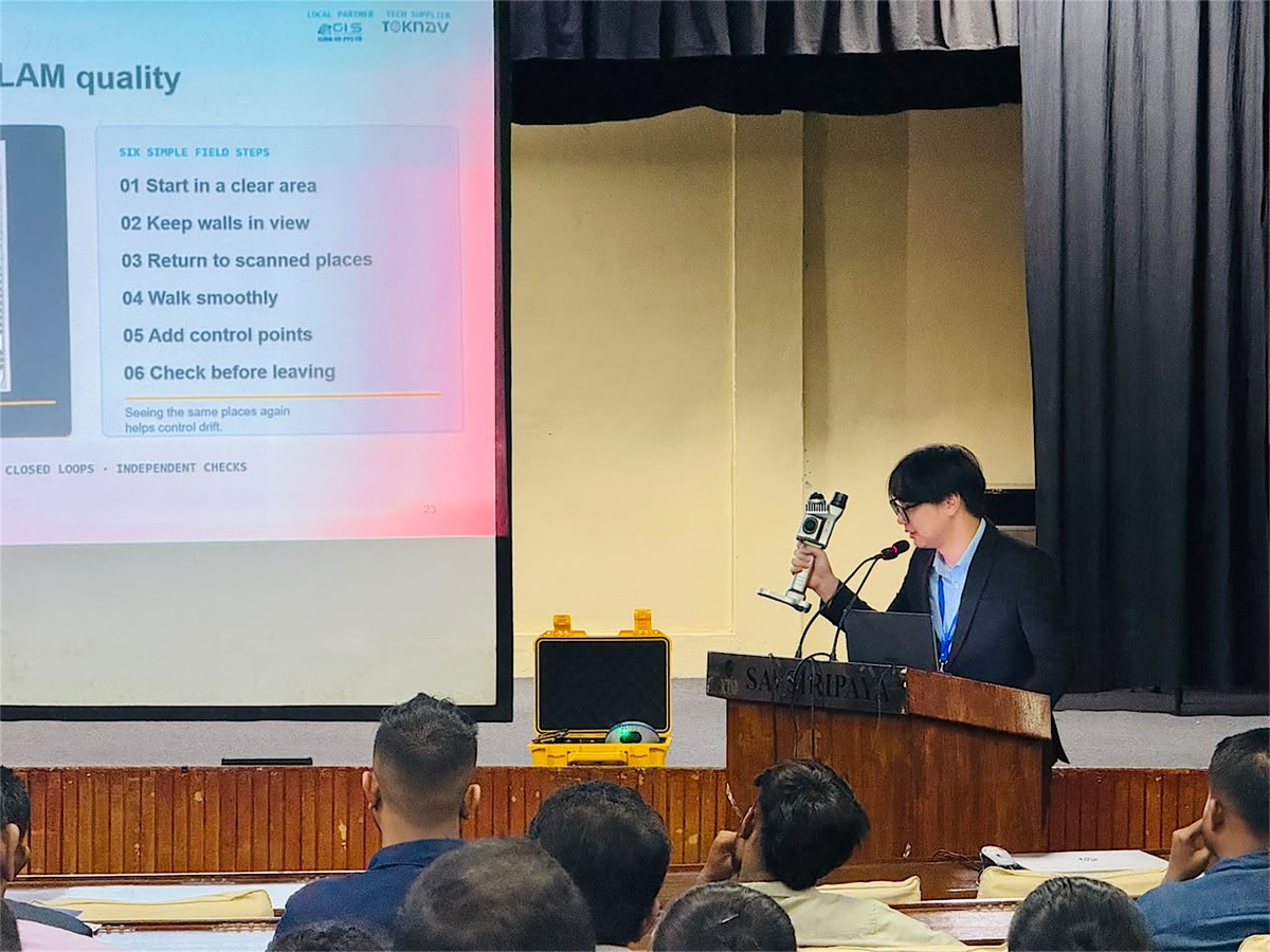
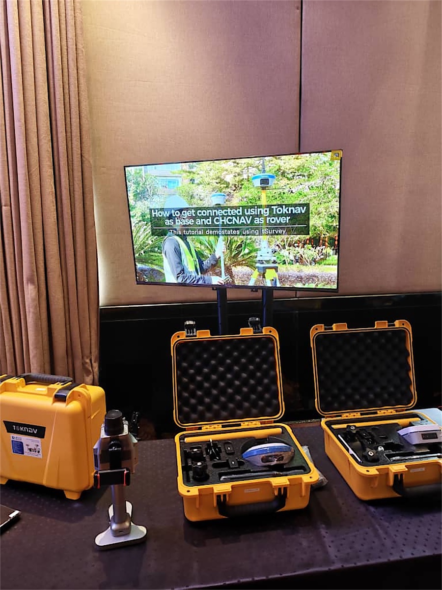
The exchanges went beyond technology fundamentals. Real project data and demonstration video were used to show how advanced geospatial tools can streamline the work that survey and engineering teams carry out every day—from capturing a point that is difficult or unsafe to reach, to creating usable 3D data and planning operations on water.
Participants saw application-oriented examples covering RTK laser measurement, photogrammetry, AR stakeout, unmanned surface vehicle (USV) hydrographic surveying and SLAM-enabled 3D scanning. Together, these workflows illustrate how positioning, imaging, automation and data acquisition can support faster, more informed decisions across a project lifecycle.
Solutions for a broader range of geospatial tasks
The sessions also introduced a portfolio designed to connect precision positioning with real operational needs. Each solution supports a different step in the field-to-data workflow:
T50 GNSS Receiver
Palm-sized laser RTK for efficient field measurement and a practical entry point to high-precision positioning workflows.
TBoat Series
Unmanned surface vehicles for hydrographic survey and intelligent water operations in diverse water environments.
TSR20 Handheld LiDAR Scanner
SLAM-powered mobile 3D capture for precise point clouds in GNSS-available and GNSS-denied environments.
TR10 Road Pre-Marking Robot
GNSS-guided layout support for road pre-marking and more efficient digital construction workflows.
Collaboration that supports modern surveying and engineering
Through the Sri Lanka program, TOKNAV and Global GIS demonstrated how a localized partnership can connect global positioning technology with the needs of local surveying, infrastructure and engineering professionals. The conversations at SISL, CIDA and IESL reaffirmed a shared focus on efficient, reliable and multi-scenario geospatial solutions for modern measurement and construction.
TOKNAV looks forward to continuing to work with Global GIS and the professional community in Sri Lanka, supporting the adoption of practical geospatial technology that helps teams measure with confidence and build with greater clarity.
Discuss your next positioning project
Looking for a GNSS/RTK, hydrographic, 3D mapping or digital-construction workflow? Talk with the TOKNAV team about the right solution for your application.