
One conversation across field and water workflows
TOKNAV joined Geo Week 2026 in Denver from February 16 to 18, presenting a group of geospatial equipment paths for survey, mapping, spatial capture and hydrographic projects.
The display connected three areas that often meet in real projects: GNSS positioning, 3D spatial capture and unmanned water-survey operations.
Equipment paths discussed at the event
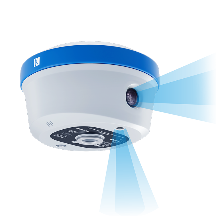
The release highlighted the T50 GNSS RTK, TSR20 handheld spatial-capture equipment and the Tboat series of unmanned surface vehicles. Each supports a different project workflow, so configuration should start with the application, operating conditions and required output.
TOKNAV used the event to meet survey professionals, partners and project teams for technical and commercial discussions.
Start with the project requirement
For a receiver, scanner or USV discussion, include the country, application, working environment and expected data output. TOKNAV can then direct the enquiry to the relevant equipment path.