
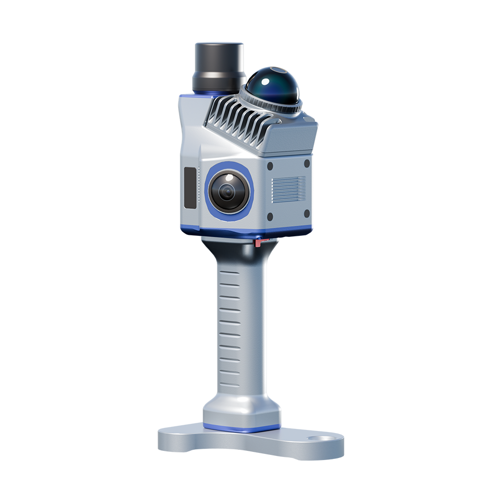
A new path for terrestrial spatial capture
On March 12, 2026, TOKNAV announced the TSL40 terrestrial laser scanner. The supplied release positions the product for professional surveying, mapping, BIM data collection and site documentation workflows.
The product introduction focuses on combining a compact field form factor with terrestrial scanning and on-site data validation.
Configuration should follow the required deliverable
A terrestrial laser-scanning project should be planned around the required accuracy, capture range, site conditions, registration workflow and final output. These details determine whether a scanning configuration is appropriate for the job.
TOKNAV can discuss the intended spatial-capture workflow and direct the enquiry to the relevant product record when available.
Request product information
For current availability, specifications and regional configuration, contact TOKNAV with your project type and destination market.