
01
Payload-led platform planning
The supplied TBoat10 record lists a 35 kg payload capacity. Confirm the actual sensor, mounting, power draw and project integration before selection.
USV & MARINE SURVEY EQUIPMENT
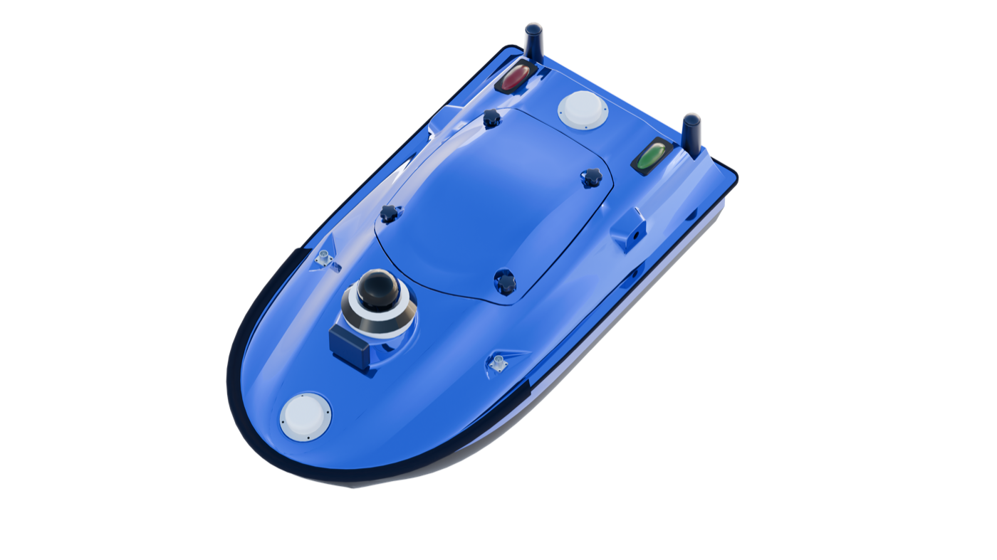
TBoat10 is a compact unmanned surface vessel platform for hydrographic survey and water-project workflows that require payload integration, remote operation and field endurance planning.
For a useful recommendation, include your country, project application and any required integration.
PRODUCT DECISION PATH
This page keeps the product decision focused on a verified model record, its intended application and the project details needed for a useful recommendation.
The supplied TBoat10 record lists a 35 kg payload capacity. Confirm the actual sensor, mounting, power draw and project integration before selection.
The latest product brochure states 7 h endurance at 1.5 m/s and a maximum speed of 7 m/s. Environmental conditions and payload affect mission planning.
The published record lists a 2.4 GHz control range of up to 3 km and 4G communications. Actual coverage and legal operating requirements must be confirmed for the project site.
The product source lists IP67 protection and an integrated 360° camera and radar configuration for the documented platform.
FIELD WORKFLOW
The steps below explain the operating decision path. Project procedures, safety requirements and final acceptance criteria remain the responsibility of the project team.
Identify the water body, survey line plan, sensor package, mounting geometry and required data output.
Check the local control and 4G coverage, battery condition, operating distance and environmental limits before launch.
Operate under the project procedure, recover the system safely and retain navigation and payload data for processing.
PRODUCT DOCUMENTATION
Available product documents are listed in the downloads section where supplied.
Contact TOKNAV to confirm the configuration required for your project.
Confirm detailed values, scope of supply, required options and regional availability with TOKNAV for your project.
CONFIGURE FOR THE PROJECT
A model name is only the starting point. A useful configuration considers the work method, output, integration, country of use and available supporting equipment.
Define the project task and operating environment before selecting accessories or options.
Review compatibility with any receiver, controller, software, vessel, machine or workflow already in use.
Send the destination country and project requirement for a focused product recommendation.
LATEST ENGLISH DOCUMENTS
These are the current English files selected by model and supplied file date. Open a document to review it, or save it for your project file.
VERIFIED TECHNICAL SUMMARY
Values in this section were checked against the newest supplied English product document named on this page. Conditions shown in that document are retained here where relevant.
DOCUMENTATION & PRODUCT RECORD
The record below summarises the model, product category and published technical information.
APPLICATION PATHS
These application paths help identify the relevant field workflow and the next product discussion.
Discuss the Hydrographic survey workflow and the role of TBoat10 in the intended project.
Discuss the Water monitoring workflow and the role of TBoat10 in the intended project.
Discuss the Unmanned marine projects workflow and the role of TBoat10 in the intended project.
BUYER QUESTIONS
These answers help start the right technical discussion without overstating information that needs project-level confirmation.
Start a TBoat10 enquiryThe current product source lists 35 kg capacity. The actual decision should include sensor mass, mounting, power draw, cabling, mission duration and stability requirements.
No. The brochure lists a 2.4 GHz control range of up to 3 km. Local regulations, line of sight, interference, weather and the operating plan must be reviewed for the project.
Provide the survey area, sensor payload, required accuracy, water conditions, expected mission time, control and communications plan, and the target country.
PROJECT ENQUIRY
Share the location, application, expected workflow and existing system. TOKNAV can help move from the product record to a project-ready configuration discussion.