Las soluciones RTK y SLAM de TOKNAV impulsan el éxito de la topografía en Argentina - tBase, T45 & TSR20 Field Performance
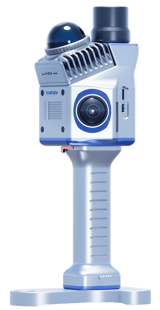
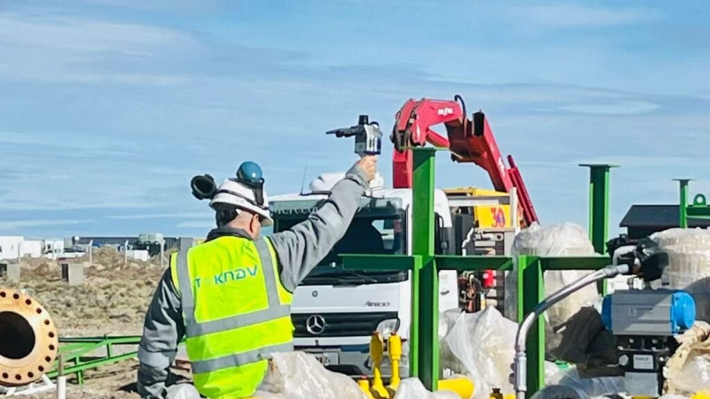
Home TOKNAV RTK & SLAM Solutions Drive Surveying Success in Argentina – tBase, T45 & TSR20 Field Performance 2026-04-20 Argentina is a country of incredible geographic diversity: from the fertile plains of the Pampas to the rugged slopes of the Andes, from dense forests in the north to urban centers like Buenos Aires, and from large-scale agriculture to heavy construction and infrastructure projects. For surveyors, engineers, construction managers, and agricultural teams across Argentina, reliable high-precision positioning equipment is not just useful—it is essential. Teams need tools that deliver centimeter-level accuracy, work reliably under tree cover or in city canyons, survive harsh weather, and fit real-world workflows. Today, we are proud to share real feedback, photos, and video results from our authorized TOKNAV dealer in Argentina, who has deployed TOKNAV’s flagship products: the tBase GNSS base station, T45 multi-functional RTK receiver, and TSR20 handheld SLAM LiDAR scanner. These tools are proving themselves daily across Argentine projects, and they are quickly becoming the go-to choice for professionals who want the best RTK & SLAM 2026 has to offer, without paying premium international prices. Why TOKNAV Is the Top Choice for Argentine Surveyors & Construction Teams Discover the Best RTK & SLAM 2026 for Your Projects TOKNAV is a global leader in high-precision GNSS, RTK, and SLAM mapping solutions, designed specifically for professional land surveying, construction, precision agriculture, infrastructure inspection, and digital twin creation. Unlike consumer-grade GPS tools, TOKNAV builds industrial-grade hardware with full-constellation satellite tracking, advanced IMU integration, and multi-mode data processing. For Argentine users, this means stability where other receivers fail: under heavy canopy, on steep slopes, in dusty construction zones, and under changing weather conditions. The combination of T45 RTK receiver, tBase base station, and TSR20 SLAM scanner creates a complete end-to-end positioning workflow that covers every job—from static control surveys and topographic mapping to 3D reality capture and construction stakeout. Argentine professionals report fewer dropouts, faster fix times, longer battery life, and easier operation than competing brands they have used in the past. For small survey firms, large construction companies, agricultural operations, and government projects, TOKNAV delivers performance and value that aligns perfectly with local needs. TOKNAV RTK Products: T45 & tBase Base and Rover Kit for High-Precision Work When teams in Argentina search for the best RTK GPS receiver 2026, they prioritize three non-negotiable features: proven accuracy, rugged build quality, and strong signal performance in difficult environments. The TOKNAV T45 and tBase affordable RTK base and rover kit checks every box. Built for professional use, the T45 is a portable, powerful GNSS RTK receiver powered by a high-performance Linux platform and equipped with 1408 channel GNSS tracking. This high channel count allows ultra-fast satellite acquisition and stable tracking even in dense forests, urban canyons, or mountain regions where signals are often weak or blocked. For Argentine surveyors working in remote areas or challenging terrain, this means fewer interruptions, faster RTK fixed solutions, and more productive hours in the field. Best RTK GPS Receiver 2026 for Argentina’s Diverse Terrain The best RTK GPS receiver 2026 must perform reliably across Argentina’s varied landscapes, and the T45 delivers. It supports full multi-constellation tracking: GPS, GLONASS, Galileo, BeiDou, and other global satellite systems. This full coverage ensures that the receiver can lock onto signals no matter where the job takes it. The tBase professional GNSS base station is built for long-range, stable differential coverage. With a high-power internal radio, it provides consistent communication over long distances—ideal for large agricultural fields, road construction, mining surveys, and infrastructure projects common across Argentina. Together, the T45 and tBase form a complete RTK base and rover kit that supports both UHF radio and 4G network connections using NTRIP and CORS. This dual-link design ensures constant RTK corrections even in rural areas with limited internet, a major advantage for teams working far from urban centers. TOKNAV T45 & tBase RTK Base Rover Kit in Argentina Survey IMU Tilt Compensation RTK for Faster Survey on Slopes Much of Argentina’s land is sloped—from vineyards in Mendoza to road construction along mountainous areas. Traditional RTK receivers require surveyors to perfectly level the pole for every measurement, slowing work and increasing fatigue. The TOKNAV T45 eliminates this problem with IMU tilt compensation RTK technology, delivering accurate measurements even when tilted up to 60 degrees. The correction error remains under 2 centimeters, meeting strict accuracy standards for cadastral surveying, construction layout, and infrastructure work. Argentine field crews report reducing field time by 30–40% on sloped projects because they no longer need to stop and level the pole repeatedly. This IMU tilt compensation feature also eliminates “fly points” common with older equipment, ensuring clean, reliable data that imports smoothly into CAD and GIS software. For any team working on uneven ground, this feature alone makes TOKNAV a smarter choice. IP68 Rugged RTK Receiver for Extreme Environments Argentina’s climate varies widely, from extreme heat in the northern plains to cold, wet conditions in Patagonia and high-altitude mountain zones. Survey equipment must resist dust, moisture, drops, and temperature changes. Both the T45 receiver and tBase base station feature IP68 rugged RTK receiver construction with a durable magnesium alloy casing. They are fully waterproof, dustproof, and shock-resistant, able to withstand drops from 1.5 meters. The operating temperature range spans from -30°C to +65°C, making them suitable for summer heat and winter cold alike. The TSR20 SLAM scanner shares this rugged build quality, operating reliably from -20°C to +55°C. For Argentine field crews working long days in harsh conditions, this rugged design means less downtime, fewer repairs, and a lower total cost of ownership over time. TSR20 Handheld SLAM Scanner: 3D Mapping in GNSS-Denied Areas in Argentina Many Argentine projects require mapping in areas where GNSS signals are weak or unavailable: building interiors, underground parking facilities, tunnels, dense forests, and urban canyons surrounded by tall buildings. This is where the TOKNAV TSR20 handheld SLAM LiDAR scanner becomes indispensable. Designed for SLAM laser scanner performance without relying on satellite signals, the TSR20 captures precise 3D point clouds