

Define the water-survey task
Share the water body, access conditions, expected depth range and planned deliverables.
HYDROGRAPHIC SURVEY
Water-survey planning needs a joined-up view of the vessel or platform, positioning source, depth workflow, communications, environment and the records expected after collection.
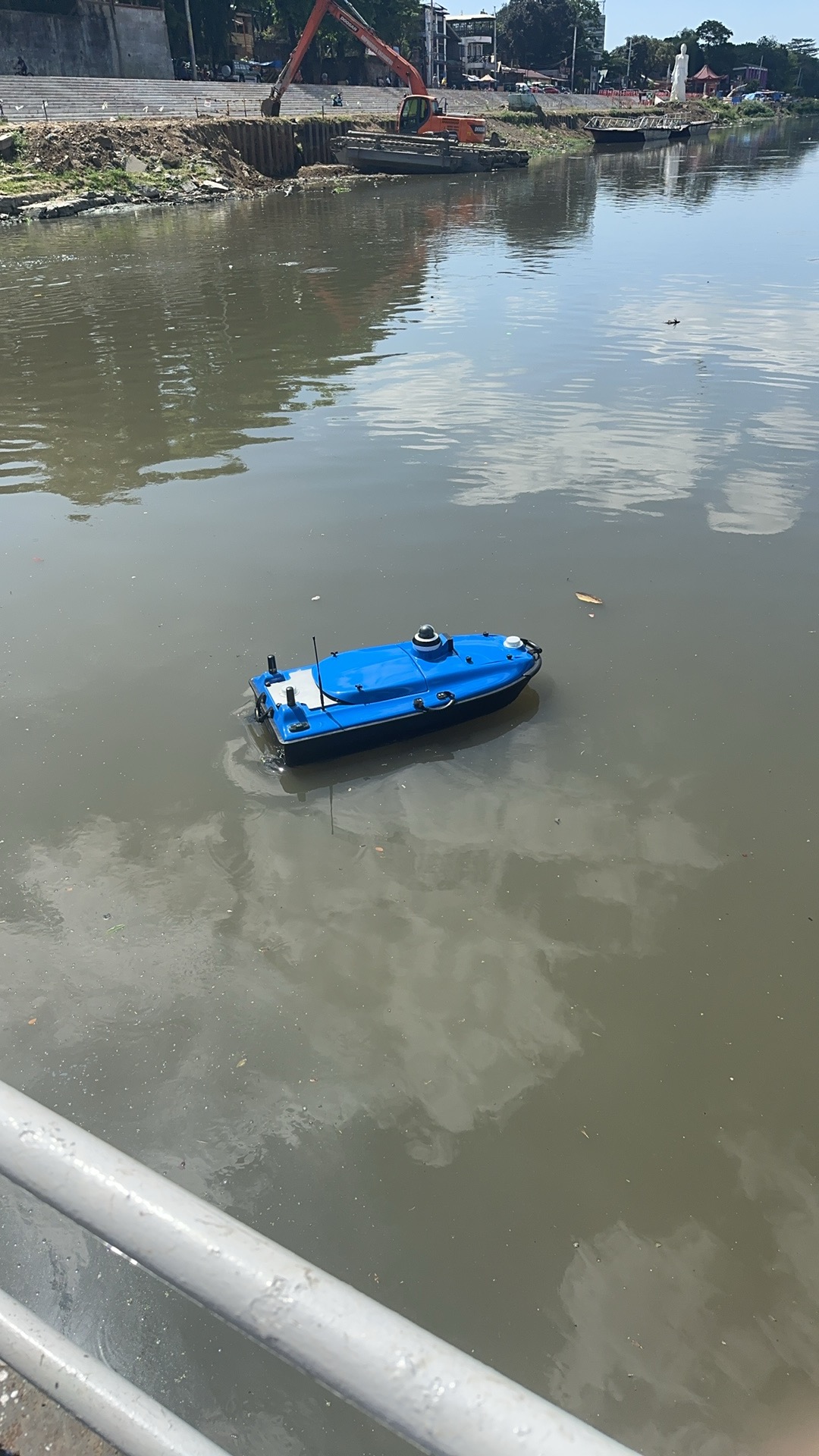
PROJECT CONTEXT
Before selecting a hydrographic workflow, define the body of water, expected depth conditions, access and launch constraints, survey lines, required positioning reference and the software or file format used by the project. These factors determine the practical conversation around a vessel, positioning equipment, sensors and power or communication arrangements.
TOKNAV can use these project inputs to identify a relevant water-survey route and current documentation. The public page does not assume a single configuration is right for every river, lake, reservoir or near-shore project; a documented selection discussion is needed before final equipment and integration decisions.
PRACTICAL WORKFLOW
Share the water body, access conditions, expected depth range and planned deliverables.
Review the correction or control source and how the project will establish position.
Discuss vessel or USV context, power, communications, payload and launch conditions.
Clarify field software, survey lines, quality checks and export requirements.
Keep the versioned equipment and operating record with the project handover.
WHAT TO PREPARE
Describe water type, access, weather exposure and launch or recovery constraints.
State the planned GNSS correction route and any existing sensor or data-collection requirements.
Identify the client’s required records, file outputs and coordinate reference.
RELATED TOKNAV ROUTES
Review current receiver families and begin an equipment discussion.
Explore products →Use an application-led guide before narrowing to a product model.
Compare routes →Send the job, country, field environment and expected deliverables.
Talk to TOKNAV →FAQ
Send the water environment, location or country, depth conditions, platform preference, positioning method and expected deliverables.
A photo is not enough for a responsible selection. TOKNAV needs the survey environment, payload, communications and project workflow.
Start at the hydrographic USV product route, then request the current product documentation for the intended project.
PROJECT ENQUIRY
Send the application, country, workflow and any existing project context. TOKNAV will begin with a documented equipment discussion.