Разновидность технологии Network Real Time Kinematic (NRTK).
VRS генерирует и предоставляет данные виртуальной референцной станции вблизи местоположения пользователя на основе региональной реальной референцной станции для расчета RTK. VRS требует 3G/4G/5G для поддержки связи.
VRS CORS
Разновидность технологии Network Real Time Kinematic (NRTK).
VRS генерирует и предоставляет данные виртуальной референцной станции вблизи местоположения пользователя на основе региональной реальной референцной станции для расчета RTK. VRS требует 3G/4G/5G для поддержки связи.
Архитектура службы VRS
Особенности системы
Мгновенный доступ к кинематическим поправкам в реальном времени (RTK)
Поправки с точностью до сантиметра, адаптированные к вашему географическому положению
Встроенное резервирование для обеспечения связи, согласованности и качества
Экономичность и простота в использовании
Профессиональное управление и безопасность
Оптимизированные рабочие процессы, выполняемые правильно с первого раза
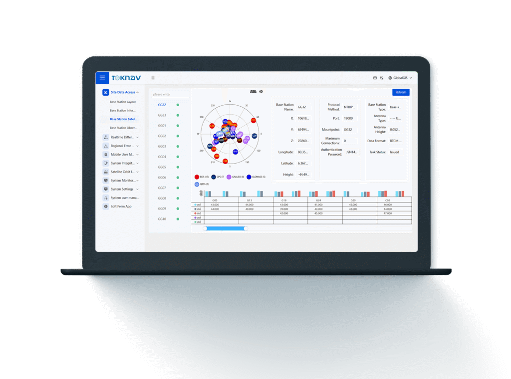
Программное обеспечение/платформа мониторинга
-NTRIP Caster
Программное обеспечение/платформа мониторинга
- NTRIP Caster -
Особенности программной платформы
Самостоятельная разработка
Поддержка модернизированной системы Multi-GNSS
Поддержка высокоточной обработки данных ГНСС в режиме реального времени
Получил множество академических достижений
Получил несколько патентов на изобретения
Особенности платформы мониторинга
Платформа Web UI
Сетевой монитор
Обработка данных Монитор
Монитор пользователя
Поддержка миллионов одновременных
Область применения
Правительство
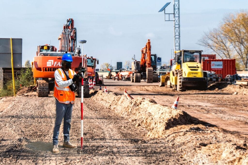
Геодезические измерения и картография Муниципальное управление
Экономика
Публичные услуги, основанные на определении местоположения Управление логистикой
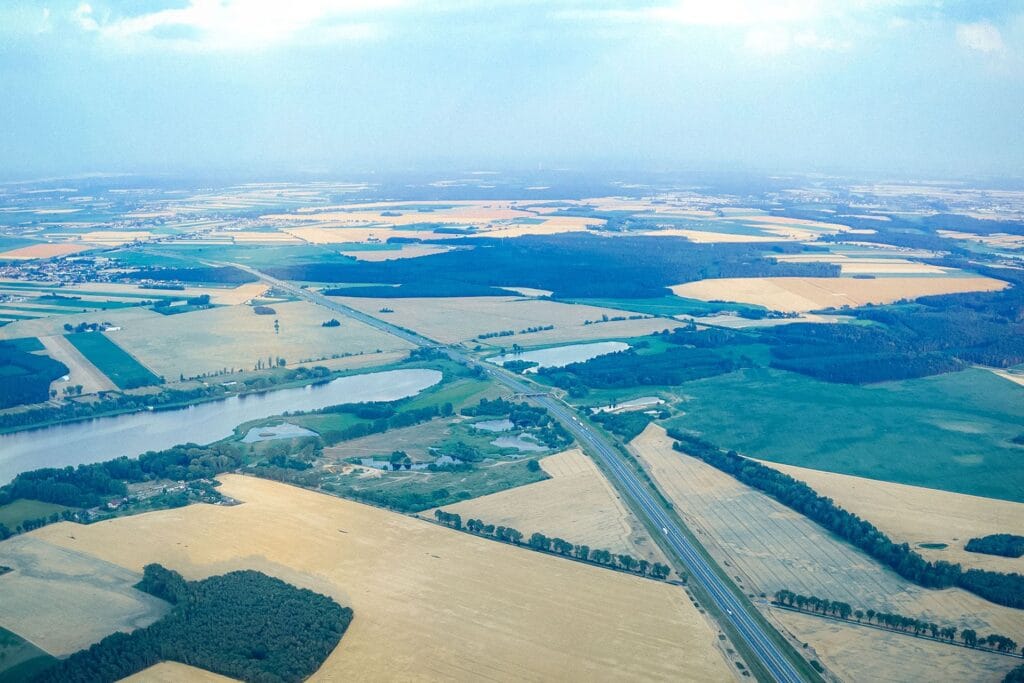
Транспорт
Навигация Управление движением и автопривод
Сельское хозяйство
Точное земледелие Интеллектуальное сельское хозяйство