Le meilleur échosondeur pour les levés fluviaux : Guide pratique des levés hydrographiques
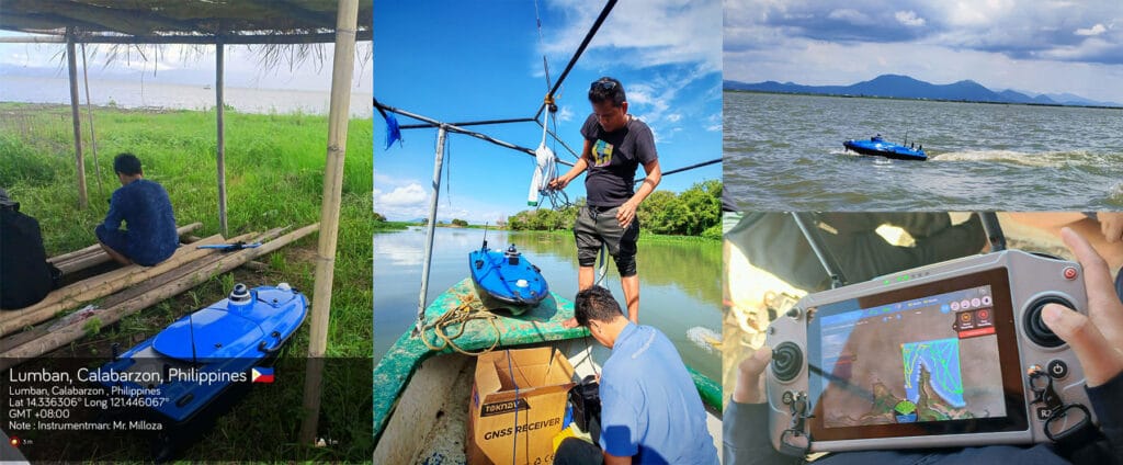
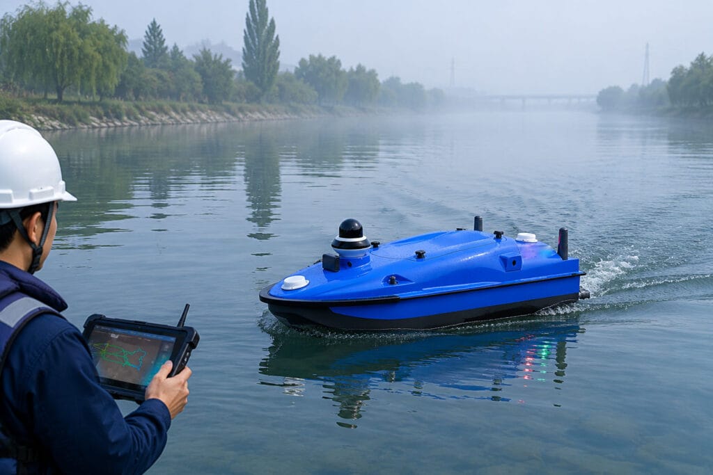
Home Best Echo Sounder for River Surveying: Practical Hydrographic Survey Guide 2026-06-03 1. Quick Overview: Why Echo Sounders Power River Hydrographic Surveys At Toknav, we know echo sounders are the primary depth-sensing tool in hydrographic surveys, especially for riverbed mapping. In this guide, we break down the latest survey-grade models. We also discuss practical workflows for river surveying. We’ve built a detailed spec comparison table, picked the top 3 echo sounders for river use, and explained how your choice impacts survey accuracy and efficiency. We’ve added clear links and CTAs to help you explore our USV and support services for turnkey solutions. Professional echo sounder working for river surveying and hydrographic survey on field site Hydrographic surveying maps underwater depths, terrain, and hidden obstacles. This ensures navigation safety and supports waterway engineering projects. Rivers and shallow waterways present tricky challenges, including vegetation, turbidity, and shifting depths. That’s why high-frequency 200 kHz echo sounders are our go-to for precise shallow-water detection. Integrated GPS and RTK positioning are also must-haves. They tag every depth reading with accurate geographic coordinates for reliable mapping results. 2. Key Factors to Choose an Echo Sounder for River Surveying Picking a suitable echo sounder makes all the difference for smooth field work. Below are the core factors every river surveyor should check before making a choice. 2.1 Frequency & Signal Penetration High-frequency systems around 200 kHz deliver sharp detail in shallow river water. Lower frequencies (24–33 kHz) cut through murky water but use wider signal beams. Dual-frequency echo sounders combine both strengths, letting you capture clear data no matter if the river is clear or filled with sediment and turbidity. 2.2 Beam Angle Narrow beams (3–5°) capture finer spatial details for precise river mapping. Wider beams (8–20°) cover more ground per ping but reduce detail level. For example, our integrated echo sounder for Tboat USVs uses an 8° beam at 200 kHz, striking a perfect balance between wide coverage and clear survey data for river routes. 2.3 Depth Range Most river surveys only require a 0–100 m depth range. Still, models supporting 200 m or deeper add great flexibility for deep river channels. Our echo sounder covers 0.3–200 m, handling regular shallow rivers and deeper water sections without switching devices. 2.4 Accuracy & Resolution Professional survey-grade echo sounders reach centimeter-level accuracy. Our model offers ±2 cm depth accuracy for highly reliable river data. Most modern devices hit ±0.01 m or 0.1% of measured depth, with 10–20 Hz ping rates boosting data density for fast-flowing river environments. 2.5 Integration & Interface Quality echo sounders support standard NMEA or Ethernet data output, like RS-232 and TCP/IP. This allows for seamless connection with GNSS receivers and survey software. All-in-one portable units that combine echo sounder and GNSS simplify setup. They are perfect for small survey boats working along narrow river sections. Your echo sounder selection directly impacts final bathymetry results. A precise device delivers clear maps, while poor transducer choices can cause data errors or missing terrain features. Get Free Professional Advice | Inquire About Echo Sounder Selection 3. Echo Sounder Spec Comparison for River Surveys We’ve sorted mainstream river survey echo sounders into a clear table below, with specs pulled directly from official product data for your easy reference. Main echo sounder models for river surveying and hydrographic survey specification display Model Frequency Beam Angle Depth Range Accuracy Interface Ideal Use-Case TSBES (Single-beam Echosounder) 200k Hz 8° 0.5m-200m 1cm+0.1%h Lan,RS232(Baudrate9600-230400) For shallow mapping and portable small-boat hydrography. TMBES (Advanced Multibeam Echosounder) 400k Hz 8° 0.2m-150m 2cm+1ppm(RTK)0.6m(SBAS)//1.2m(single point) RS-232 High-resolution 3D mapping in shallow waters; multifunctional surveys from rivers to coastal areas. SDE (Portable Dual Frequency Echo Sounder) 200k Hz & 20k Hz standard 200k Hz: 7°20k Hz: 20° 200k Hz: 0.3m-200m 20k Hz: 0.5m-600m 200 kHz: ±1cm±0.1%D 20 kHz: ±10cm±0.1%D (D is the depth value) 3* RS232, 1* RS485, 1 power supply interface, 1 transducer port and 1 LAN port High frequency for shallow mapping & silt thickness; low frequency for rivers to deep seas. Each model has its own strengths for different river survey scenarios. Check your on-site conditions and working tools to pick the most matched solution for your team. Request Full Datasheets | Get Custom Price Quote 4. Top 3 Recommended Echo Sounders for River Survey Projects After comparing performance, portability and field adaptability, we’ve picked 3 top models tailored for daily river hydrographic survey work. 4.1 TSBES (Single-beam Echosounder) This single-beam sounder is built exclusively for our Tboat USVs, delivering centimeter-level precision for shallow river mapping.Its 8° beam suits narrow river channels well. Built-in GNSS and RTK sync plus noise filters keep data stable even in turbid river water.The plug-and-play design works perfectly with our USVs, cutting down setup time and improving overall safety during long professional survey missions.It stands out for ultra-precise river bathymetry, letting you get detailed underwater terrain with minimal manual operation from your team. 4.2 TMBES (Advanced Multibeam Echosounder) This portable dual-frequency echo sounder comes with built-in data logging, ideal for mobile river survey teams.Running at 400 kHz with a 8° beam, it covers 0.2–150 m depth and maintains ±2cm (±0.1%) accuracy across full ranges.Its compact all-in-one body fits small boats, kayaks and jet skis. Advanced DSP supports 20 Hz ping rate and clear echograms to tell river vegetation apart from real riverbeds.Independent surveyors love this rugged device. It’s easy to deploy, records complete data and connects smoothly with external GPS units for shallow river channel mapping. 4.3 SDE (Portable Dual Frequency Echo Sounder) This dual-channel echo sounder features a wide frequency range from 20 kHz to 200k Hz for flexible field use.Pair it with a 200k Hz transducer for a narrow 20° beam. It supports depths from 0.3m shallow water up to 600m for multi-scene surveys.As a trusted industry workhorse, it reaches 20k Hz ping rate and steady ±0.01 m (±0.1%) accuracy at 200k Hz.Multiple interfaces including RS-232 and Ethernet ensure easy connection with GPS and survey software. It works reliably from narrow rivers to deep waterways.All three models