
TOKNAV представит передовые геопространственные решения на выставке INTERGEO 2024
2024-09-26 TOKNAV INTERGEO 2024 | Advanced Geospatial Solutions & Precision GNSS Tech
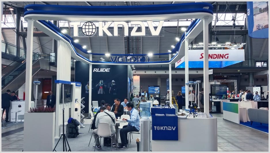
Штутгарт, Германия - 24-26 сентября 2024 года - компания TOKNAV привлекла большое внимание на выставке INTERGEO 2024. Эта крупнейшая в мире выставка геопространственных технологий прошла в Штутгарте в этом году.
INTERGEO посвящена решению глобальных проблем, таких как рост городов и устойчивость климата. Он собрал тысячи профессионалов отрасли.
Кроме того, это дало TOKNAV прекрасную возможность продемонстрировать свои инновационные геопространственные инструменты.
Explore Innovations at TOKNAV INTERGEO 2024
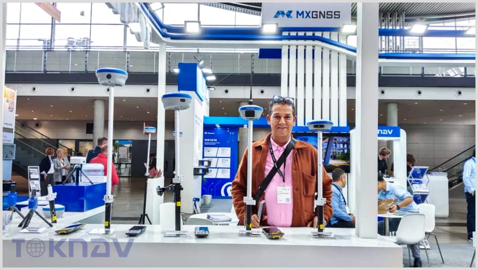
Компания TOKNAV представила ряд передовых геопространственных продуктов. Эти продукты подчеркивают внимание компании к точности, автоматизации и эффективности геодезических работ и маркировки.
P8 Global (PPP RTK): Точность без базовой станции
Этот GNSS-приемник обеспечивает точность на уровне сантиметров. Для его работы не нужны базовые станции или станции CORS.
Она использует технологию Precise Point Positioning (PPP) для получения глобальных высокоточных данных о местоположении. В отличие от традиционных систем, она работает без 4G или радио.
Это делает его идеальным для работы в удаленных местах или в сложных условиях.
T30 (лазерная съемка RTK): Мощный прибор для интенсивных задач
Этот высокоточный лазерный измерительный инструмент оснащен технологией RTK. Кроме того, он оснащен системой AR для отслеживания в реальном времени и усовершенствованным IMU для позиционирования.
Он поддерживает полный прием сигнала GNSS, 4G и радиосвязь мощностью 5 Вт. Его аккумулятор емкостью 13800 мАч работает до 3 дней на одном заряде.
Это делает его идеальным для тяжелых геодезических работ.
T30Pro (фотограмметрия RTK): Для сложных проектов
T30Pro сочетает в себе съемку с использованием изображений и усовершенствованную систему RTK. Это позволяет выполнять точную привязку в реальном времени с помощью AR.
Он оснащен новейшей технологией IMU, полным приемом GNSS и встроенным 4G с радио мощностью 5 Вт.
Благодаря аккумулятору емкостью 13800 мАч он работает без перерыва до 3 дней. Он подходит для сложных картографических и геодезических проектов, требующих точности и длительного времени автономной работы.
TR10 (робот предварительной разметки): Безопасная предварительная разметка шоссе
TR10 предназначен для предварительной разметки автомобильных дорог. Он автоматизирует нанесение линий, повышая безопасность и эффективность подготовки к дорожным работам.
Как решения обслуживают различные отрасли
T30 и T30Pro - это высокоточные инструменты для городского планирования. Они также хорошо подходят для мониторинга окружающей среды.
TR10 повышает безопасность и эффективность при разметке автомобильных дорог. Кроме того, P8 Global обеспечивает удаленное позиционирование без использования базовых станций.
Это большой плюс для проектов в изолированных районах.
Создание сетей и будущее сотрудничество
Участие в INTERGEO 2024 помогло компании TOKNAV наладить ключевые связи в отрасли. Она провела содержательные переговоры с международными партнерами и заинтересованными сторонами.
Компания изучала возможности сотрудничества. Она также расширила свое влияние на новые рынки.
Кроме того, эти переговоры позволяют TOKNAV узнать о новых глобальных потребностях в геопространственных технологиях.
Будущее геопространственных технологий
Участвуя в выставке INTERGEO 2024, компания TOKNAV подтверждает свою приверженность развитию геопространственной отрасли.
Эти решения обеспечивают более высокую точность, эффективность и безопасность для профессионалов во многих отраслях. Они подчеркивают роль TOKNAV в формировании высокотехнологичных геопространственных инструментов будущего.