

TAG88
Automated GNSS Land Leveling System
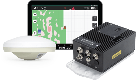
TAG88 Automated GNSS Land Leveling System is a fully automated satellite-based control system for precise land leveling in agriculture. It operates 24/7, covers a 30-kilometer radius, and eliminates the need for frequent base station relocation. The system supports multiple units working simultaneously. With real-time display of fill and cut volumes and automatic adjustments to the leveler’s position, it allows for rapid, accurate construction without prior staking, improving efficiency, reducing rework, and boosting economic benefits.
TAG88
Automated GNSS Land Leveling System
TAG88 Automated GNSS Land Leveling System is a fully automated satellite-based control system for precise land leveling in agriculture. It operates 24/7, covers a 30-kilometer radius, and eliminates the need for frequent base station relocation. The system supports multiple units working simultaneously. With real-time display of fill and cut volumes and automatic adjustments to the leveler’s position, it allows for rapid, accurate construction without prior staking, improving efficiency, reducing rework, and boosting economic benefits.
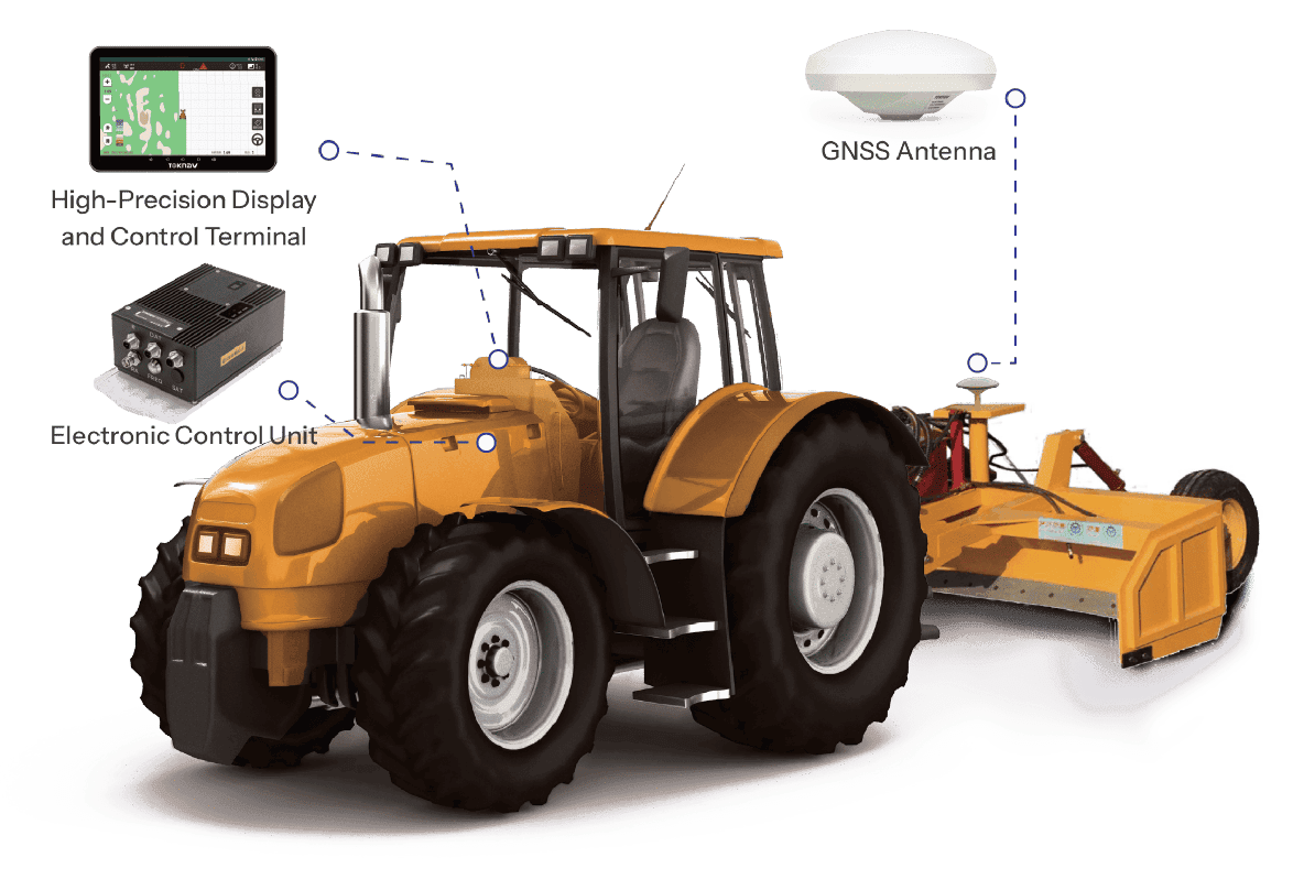
بنية النظام
خصائص النظام

Full Network Signal Coverage

Multitasking

Intelligent Display Screen
10.1-inch high-definition display with instant multi-touch response.

تشغيل مستمر على مدار 24 ساعة
The system supports 24-hour continuous operation, capable of working in various adverse weather conditions.

Real-time Map Visualization

Automatic Recognition and Adjustment
The system automatically identifies terrain variations and adjusts the plot datum.
Full Network Signal Coverage
The system integrates Beidou satellite, and is fully compatible with GPS, BDS, GALILEO, and GLONASS signals.
تشغيل مستمر على مدار 24 ساعة
The system supports 24-hour continuous operation, capable of working in various adverse weather conditions.
Multitasking
The system includes tractor navigation, and is compatible with telescopic, ripper, paddy leveling blades, scrapers, and graders.
Real-time Map Visualization
Users can monitor the process through the software and easily grasp the workflow.
Intelligent Display Screen
10.1-inch high-definition display with instant multi-touch response.
Automatic Recognition and Adjustment
The system automatically identifies terrain variations and adjusts the plot datum.
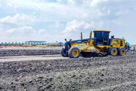
مجال التطبيق

Road Construction
Site Preparation for Buildings
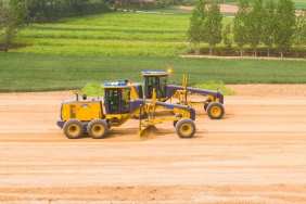
Agricultural Field Leveling

Airport Runway Construction

Mining Operations
