
TOKNAV, Nanjing'deki CHINTERGEO 2025'te Tam Yığın Konumlandırma Çözümlerini Başarıyla Sergiliyor
2025-12-07
Nanjing, China — December 6, 2025
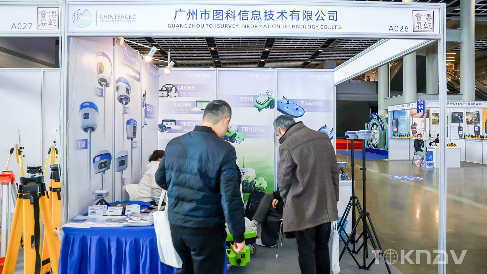
From December 4 to December 6 , TOKNAV participated in CHINTERGEO 2025, one of China’s most influential geospatial technology exhibitions. As an international event attracting professionals from surveying, mapping, smart agriculture, construction, and digitalization sectors, CHINTERGEO continues to serve as a critical platform for innovation exchange, technological collaboration, and industry development.
During the three-day exhibition in Nanjing, TOKNAV presented a comprehensive lineup of high-precision positioning solutions, demonstrating our commitment to delivering reliable, efficient, and intelligent tools for global users.
Showcasing TOKNAV’s Latest Innovations
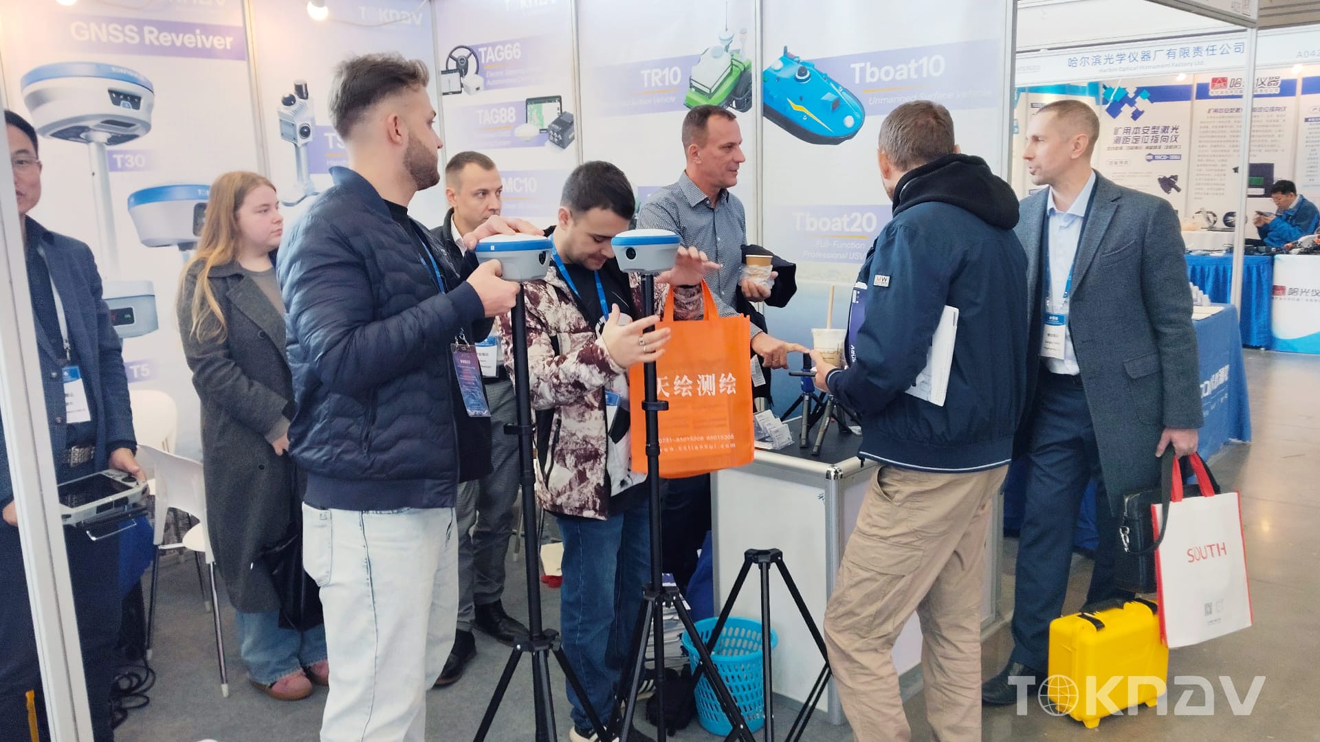
1. RTK GNSS Receivers
TOKNAV exhibited its full range of GNSS RTK receivers, known for:
- High-precision multi-constellation positioning
- Stable performance in challenging environments
- Long battery life and rugged industrial design
- Advanced IMU tilt compensation
These receivers attracted strong attention from surveyors and engineering professionals seeking accuracy, reliability, and operational efficiency.
2. Smart Agricultural Machinery Solutions
Our precision agricultural guidance and machine control systems stood out as a highlight of the booth.
TOKNAV’s solutions are designed to empower farmers with:
- Centimeter-level positioning for precision farming
- Ease of installation and wide tractor compatibility
- Automated steering and optimized field operations
- Enhanced productivity with reduced labor requirements
Visitors praised how TOKNAV helps modernize traditional farming with smarter, data-driven field management.
3. Field line marking Robots & Autonomous Platforms
TOKNAV’s autonomous robotic solutions demonstrated significant potential across multiple fields—including sports field marking, inspection, and outdoor automation.
Key advantages include:
- High-accuracy navigation powered by GNSS + IMU fusion
- Flexible expansion platforms
- Reliable obstacle detection and autonomous operation
These robots also drew interest from partners exploring future automation opportunities.
4. SLAM & Real-Time Mapping Systems
TOKNAV introduced its LiDAR SLAM mapping solutions designed for rapid spatial data acquisition.
Featuring:
- High-accuracy real-time point cloud output
- Lightweight handheld usability
- Dual-camera fusion for enhanced environmental perception
The system’s efficiency and portability gained considerable attention among digital mapping professionals.
Looking Ahead
TOKNAV’s successful presence at CHINTERGEO 2025 marks another step in deepening collaboration with global partners and advancing intelligent positioning technologies.
We sincerely thank all visitors, partners, and professionals who visited our booth and shared valuable insights with us during the event.
TOKNAV will continue to innovate, broaden application scenarios, and deliver smarter, more efficient, and more reliable positioning solutions to users around the world.
We look forward to meeting you again at the next CHINTERGEO—and continuing the journey of shaping the future of navigation and geospatial technology together.