
Software
Software
Software di rilevamento e mappatura GNSS basato su anni di esperienza di mercato, combina le funzioni di rilevamento e acquisizione di dati cartografici con le funzioni di controllo e acquisizione RTK, progettazione stradale e lofting. Il software ha un flusso operativo umanizzato, un'interazione grafica eccellente e funzioni più potenti.

Software tSurvey
Software per il rilievo ingegneristico
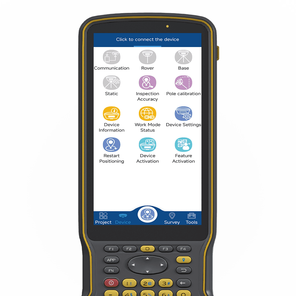
Software tSurvey2.0
Software di rilevamento industriale
tSondaggio
Software per il rilievo ingegneristico
tSondaggio2.0
Software di rilevamento industriale
Software FieldGenius
Raccolta dati facile da usare
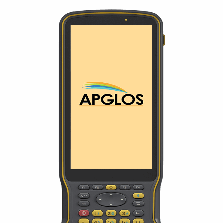
Software Apglos
L'applicazione definitiva per il rilevamento del territorio
CampoGenius
Raccolta dati facile da usare
Apglos
L'applicazione definitiva per il rilevamento del territorio